
Want to get high the easy way? Settle down, Ziggy Marley, I’m talking about elevation. As in, over 11,000′. Sugarloaf Peak is a great way to bag a big peak with minimum effort. Along the way you’ll see vibrant wildflowers, a gorgeous mountain lake, and maybe even some wildlife. Sounds good, right? Well, grab your boots and head to Albion Basin, where this excellent peakbagging adventure begins.

At the head of Little Cottonwood Canyon is Albion Basin. Skiers know this area for its deep pow stashes during winter, but it’s a picturesque place to explore during summer months as well. To get there, simply drive all the the way up Little Cottonwood Canyon, past the town of Alta. After the Alta Guard Station the road becomes a graded, two lane dirt drive, but it’s suitable for any vehicle in good weather. Drive past the stately mountain homes and park in the lot near the Albion Basin campground. There is plenty of signage pointing you towards the trail to Cecret Lake, which begins just inside the campground area.

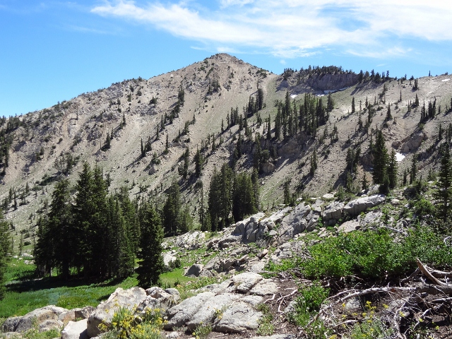
You’re now in the heart of Albion Basin, a high alpine wonderland. In late summer this region offers visitors an explosion of wildflowers. The slopes are painted in shades of every hue thanks to the huge variety of plants that live here. The basin is also home to many creatures: red- tailed hawks, moose, bobcats and even badgers all thrive in Albion. Try to keep your eyes on the trail as you make your way up the switchbacks to Cecret Lake.

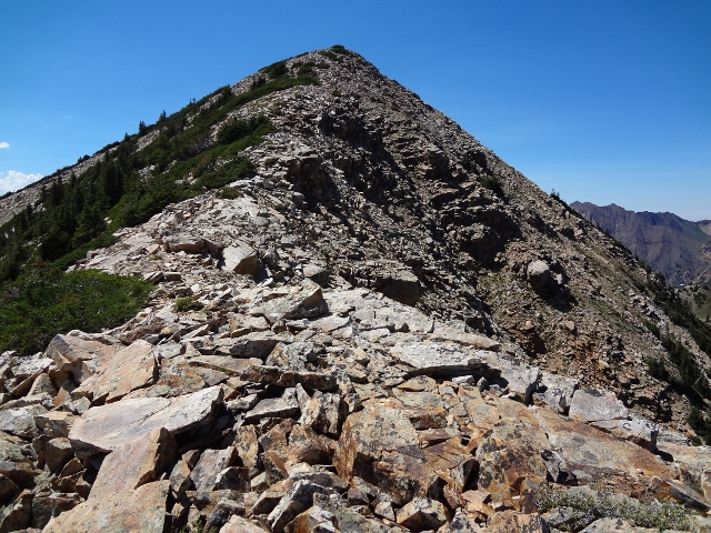
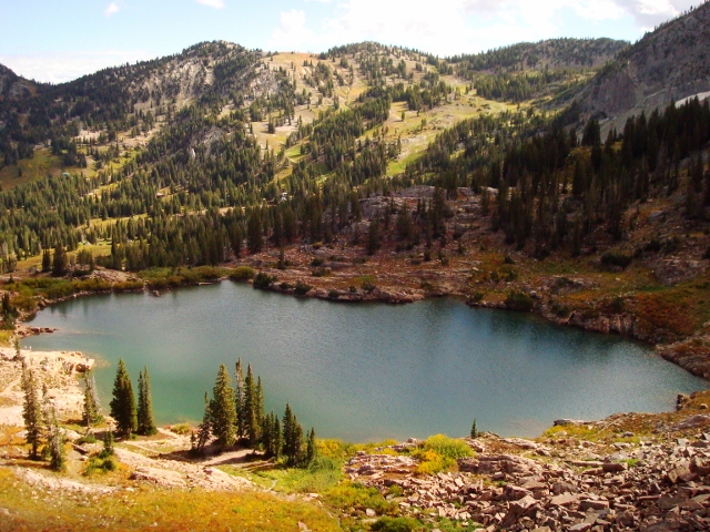
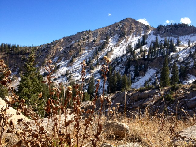
Cecret (or Secret, as it’s sometimes called) Lake is another mountain gem. Crystal-clear water and rocky shores comprise this much-loved body of water. Cecret is often a very busy area as it’s a great trip for hikers of all ages. Towering over the lake are Sugarloaf Peak (southwest) and the imposing Devils Castle (southeast). Walk to a stand of pines on the southeast side of the lake. A faint trail leads through the pines and links up with a more prominent path. This trail switchbacks up the steep slope and eventually deposits hikers on the ridge between Devils Castle and Sugarloaf. From here it is just a matter of hiking up the rocky ridge to the summit. Topping out at 11,051′ will afford you a 360 degree view of the Wasatch Mountains; it’s truly an impressive sight. Enjoy the heights and return the way you came. Total time for the hike is approximately 3 hours, a true “quickie” to get you high in a hurry!
Maps: USGS Quads for Brighton and Dromedary Peak, or the handy Hiking the Wasatch Map from the University of Utah Press
Dogs: No dogs allowed in Little Cottonwood Canyon or Albion Basin (watershed areas)
Alternate Route: Sugarloaf Road (used for ski resort maintenance) also provides access to the summit. Follow the road until it ends at the top of Sugarloaf Lift. From here, just use the obvious foot trail to attain the summit.
Great tip for those of us who only have a few hours. Thanks!
I plan on doing this tonight. I have been wanting to hike up there for like 2 years now, and I just need to get out and DO IT! Alicia @girlonatrail
I LOVE hiking the peaks around Alta. Some of the best and most accessible in the state. Have fun today!