
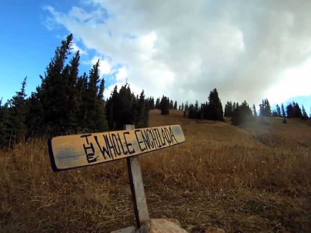
The Whole Enchilada. The name describes the ride well as it encompasses a whole smothered tortilla filled with Moab-area trails like Burro Pass, Hazard County, Kokopelli and Porcupine Rim. It’s also the Whole Enchilada in terms of the style of riding as the trail system begins in the high alpine of the La Sal Mountains where you descend through four different climate zones, starting with singletrack among groves of aspen trees, and ending with desert rock and technical drops above the Colorado River. It’s a classic in Moab’s already awesome arsenal that will test your technical bike-handling skills and heart rates in a 26-mile, 7,000 foot descent.

To start, you have to get a shuttle. Either arrange a lift with one of the many shuttle services in town, or shuttle yourself with two cars. From town, your shuttle will take you into the La Sal Mountains were it will drop you off at Burro Pass. You’re now in the high alpine at an elevation of 10,400 feet.

A short ride on a dirt road takes you to the start of the pass, where you have to pedal 800 vertical for about a mile. Unfortunately, it’s very steep with some hike-a-bike sections. But before long, you’re at the top of the pass with excellent views all around. It’s a good spot to take a break, and fuel up for the bombing downhill on the other side.

Ah, the descent. It’s classic alpine riding with steep singletrack that can be rocky and loose. Sharp switchbacks lower you into the valley bottom, where a few deep stream crossings keep things interesting. Wet roots, drop offs and logs round out the white-knuckle experience.

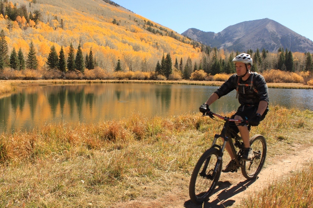
Just when you’ve had about enough of that, the terrain changes and mellows out. Thick pine trees give way to stands of aspens that are spectacular to ride through during the height of autumn. This is the time to sit back, pedal lazily, stop for photos, and enjoy being in the mountains on your bike. The climax is Warner Lake, a picture-perfect body of water that sits below Haystack Mountain. It’s a damn postcard that you’ll be remiss not stopping to enjoy.


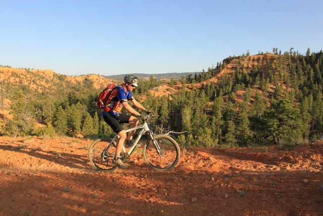
After the lake, the ride begins to climb again on the other side of the Warner Campground. This is the start of the Hazard County Trail. The climb isn’t long, but it is steep. At the top is yet another amazing view as the trail come out on a plateau that offers a 360-degree panorama of the La Sals and the sweeping red rock desert of southeastern Utah far below. This is also where the downhill gets fun again as the well-groomed singletrack weaves and swoops through sagebrush and scrub oak. Banked turns and man-made gap jumps are there for the shredding.

At the bottom of Hazard County, the trail dumps out on a dirt road. This is Kokopelli. The road itself is nothing to write home about, but it is fun to get some serious speed as you burn up some mileage really, really fast. As the road curves around, more views of Canyon Country emerge, with Fisher Towers and The Rectory squatting in the distance.

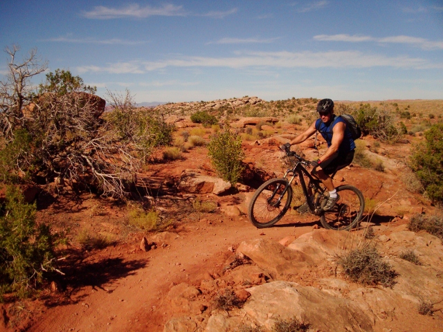
Next up is UPS/LPS (Upper/Lower Porcupine Singletrack.) Many consider these next few miles to be the best of the Whole Enchilada, as it features a variety of terrain – from smooth singletrack to slickrock sections, to technical drops and rock gardens. It’s real fun mountain biking with plenty of flat, sandstone overlooks where you can sun yourself above the Castle Valley and have a snack. You’ll also notice the climate zone has also changed here as pinon pines and juniper bushes are the norm.

In many ways, UPS/LPS is a sort of warm up for the Porcupine Rim Trail, which is the last, (and most technical) section of the Whole Enchilada. It’s 11 miles of advanced downhill that will make your hands ache from all the braking. Rocky ledges, insane dropoffs, and techy moves over fall-and-you-die exposure add to the thrill.

Drop after drop, rock garden after rock garden, your bike, and your body, will take a beating. It can get so gnarly that there is no shame in walking your bike down some particularly scary sections. But it’s all worth it as the trail drops down cliff edges above the sinuous Colorado River that follows far below. It’s a fantastic way to end a mountain bike ride. When you hit the highway just above Negro Bill Canyon, you know you’re done.

Overall, nothing really compares to mountain biking the Whole Enchilada. Not in Moab, or even in the entire United States. Where else can you start above 11,000 feet and descend 7,000 feet all the way to the desert and the bottom of a major river valley? This is the creme-de-la-creme of Utah mountain biking, and is the new “must do” ride in Moab. Reserve that shuttle, get on your trustworthy steed, and ride it!

2 thoughts on “Mountain biking the Whole Enchilada”