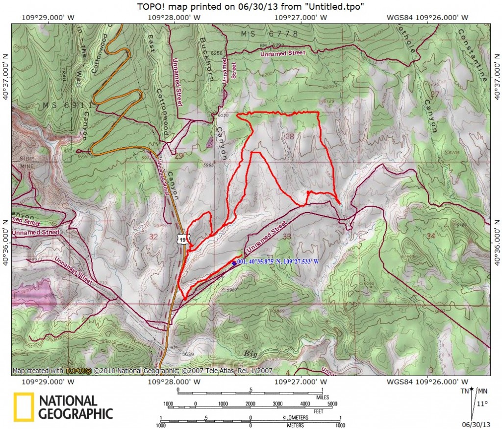
Start Point: Jass-Chrome Molly trailhead, 5875 feet
High Point: Loop high point, 6175 feet
Trail Distance: 6.6 miles (round trip)
Trail Time: 1 hour, 20 minutes
Skill Level: Intermediate
Best Season: Spring/Fall
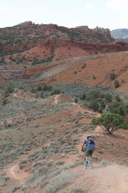
The Jass-Chrome Molly Trail (also spelled “Jazz-Chrome Molly,” I couldn’t discern which is correct either way) is a Vernal area original. This 6.6-mile loop is located in the Red Fleet State Park area just north of town and is an ideal ride for intermediate mountain bikers looking to cut their chops on some desert singletrack. The ride itself is pretty mellow as there aren’t many technical sections, or even downhill descents for that matter. Jass-Chrome Molly is an overland tour with ups and downs that only add up to around 800 vertical feet of climbing with only 300 feet of actual elevation change.
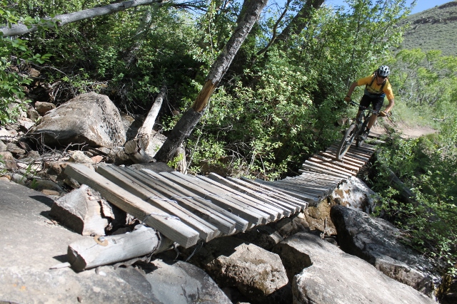
But don’t think that the lack of vertical gain/loss means that this trail is boring. Far from it, the ride is full of undulating terrain, swooping corners, and even some really fun descents on knife-edge ridges that are downright Fruita-esque. Plus, it can be linked with other rides in the area like Cabin Boy for an even longer day in the saddle.
Getting There: After entering the town of Vernal from Highway 40, go north on US-191 toward Red Fleet State Park. After 10.5 miles, watch for a sign that says, “Red Fleet Dinosaur Trackway,” and turn right. In just over half-a-mile, you’ll crest the top of a hill. Turn left onto a primitive dirt double track. The trailhead is on the left. You can park and even camp anywhere in the vicinity.
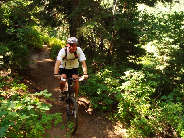
The Ride: After you locate the signed trailhead, ride it west as it dips down into a wash. You’ll soon notice how the dirt alongside the singletrack is very soft, so you’ll have to pay attention and stay on trail or risk sliding out into prickly desert plants. The first mile of Jazz has the three “fs”- fun, flowy, and fast. It has a really good flow as it winds and weaves through the pinion trees. But starting a ride by going down right off the bat is never a good sign, because it surely means you’ll be going up on the return trip.
Sure enough, a stiff climb follows that takes you back up atop the hillsides where a bit more technical terrain exists. Right where the up begins, there is a fork. Go left. Right takes you to the same place but is better used as a downhill on the return trip. All intersections are well signed so you won’t go off course. At mile 1.5, you’ll come to another intersection and again, you should go left. This is the start of the big Jass-Chrome Molly loop.
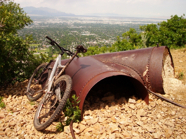
You’ll start climbing again with short down sections as you cross a few washes. The dirt also changes here from the loose, dusty red kind to a more white, clay-like formation. In 2.5 miles, you’ll reach the top of the ride when you re-enter the pinion pine forest. From here, prepare yourself for some fun downhill sections! The descents are fast, flowy, and littered with small jumps. Plus, as mentioned above, it’s all very similar to trails found on 18 Road in Fruita, Colorado.

At the bottom of the downhill sections, you’ll have a few more undulating part of trail before it closes the large loop at mile 5.3. From here, simply retrace your pedal strokes back up to the trailhead. The only bummer here is that the ride ends with an uphill section as you come back up out from the wash.
Overall, Jass-Chrome Molly is a good introduction to desert singletrack and to Vernal mountain biking in general.
GPS track created by the Suunto Ambit.