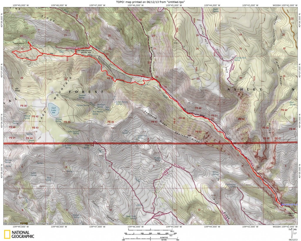
Start Point: The Flume trailhead, 9950 feet
High Point: Apex of upper loop, 8300 feet
Trail Distance: 18 miles (round trip)
Trail Time: 4 hours
Skill Level: Intermediate
Best Season: Spring/Fall
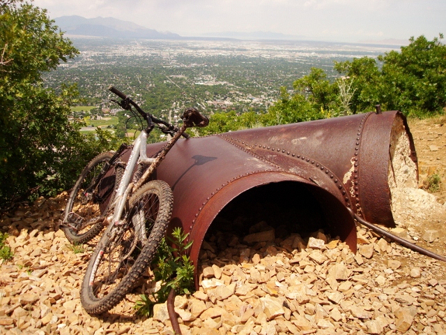
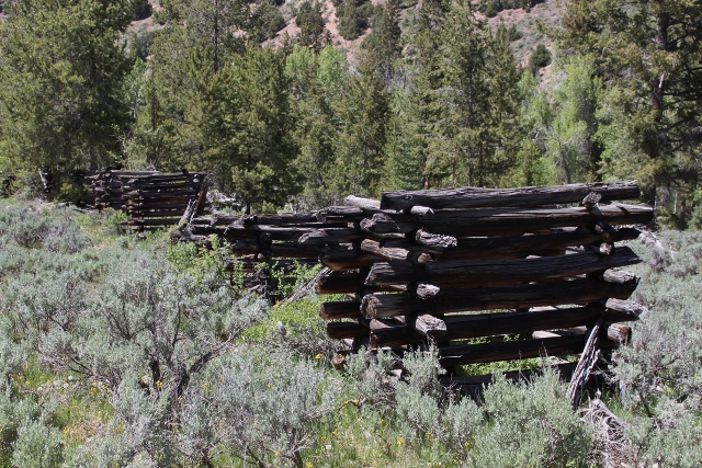
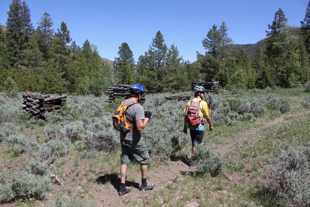
The Flume Trail has been described as one of the most classic mountain bike rides in the Vernal area. This excellent singletrack winds up through a scenic canyon along mountain streams and ends at a cool historic site called The Flume. This collection of decaying log towers is all that remains of an elevated waterway, a relic of man’s attempt to channel water past limestone cracks where the river disappeared, leaving the farmers downstream without water for crops and cattle. It took four years to build The Flume from 1893-1897, but it leaked so much that the runoff washed away the ground beneath the towers. It was abandoned soon after and now stands watch over mountain bikers who pedal by.
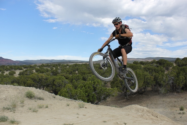
As for the ride, you’ll find a lot of variety from technical rock gardens, to stream crossings, and fast, smooth dirt singletrack. Although the trail is appropriate for intermediate riders overall, there are some technical sections and a section of steep switchbacks that may be challenging to some mountain bikers.
Getting There: From Main Street in Vernal, take 1700 West northbound to 500 North. Go left and continue to 3500 West and turn north. Continue north on this road for 8.4 miles as it curves to the west. At the junction of Dry Fork Settlement and Deep Creek Roads, go right (north) on Dry Fork for about a mile, then turn left and continue on Dry Fork Settlement Road (right becomes Indian Trail Ranch Road.) In 1.8 miles you’ll come to the first trailhead on the left by the creek. There is a large pullout and signs.
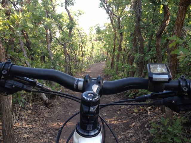
The Ride: From the parking area, locate the wood bridge. This is the start. Cross the bridge over Dry Fork Creek and follow the trail as it heads northwest. The first couple of miles are very rocky with short, steep hills that require quick bursts of pedaling energy and good bike-handling skills. Intermediates will find this to be the most difficult part of the ride. Luckily, there is a second trailhead further up the road that lets the faint of heart and heart-rate bypass this section.

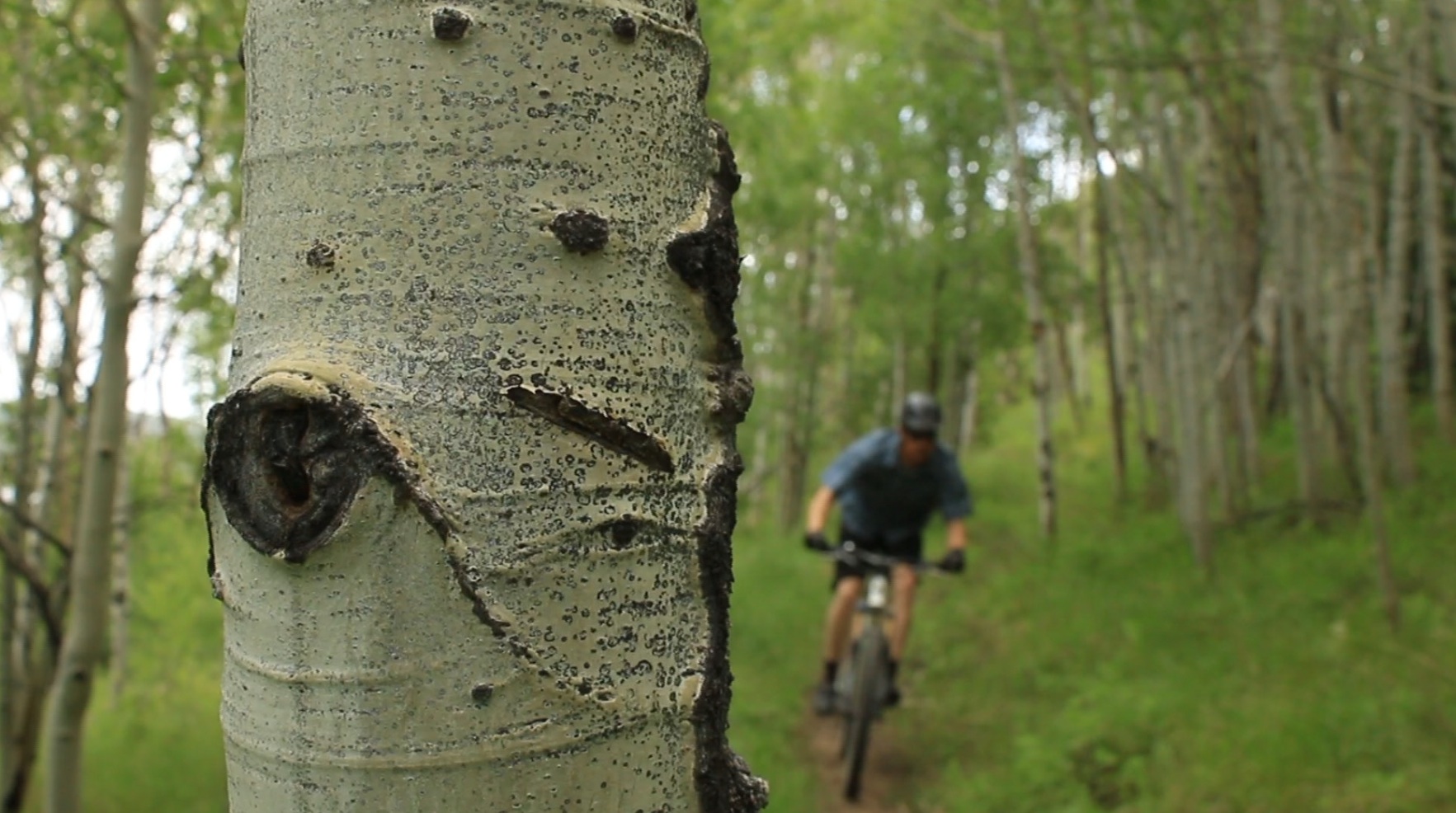
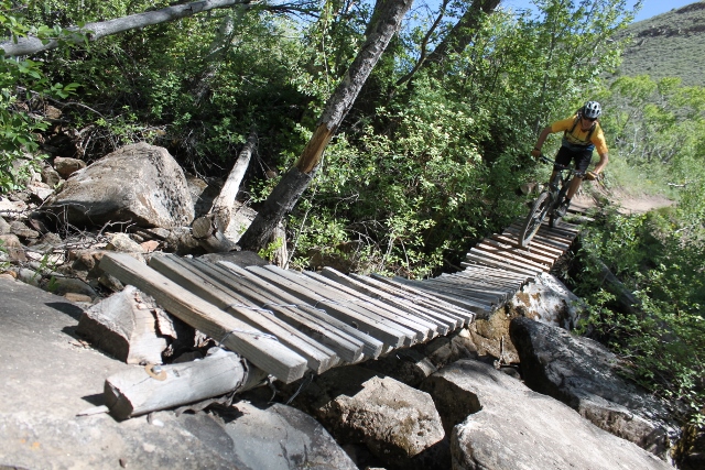
Once beyond the rock gardens, the trail comes to a rickety bridge. It’s a bit of a puckering ride and good balance is a must, lest you dash your noggin on the rocks below. It is easy to walk across if you’re so inclined. Soon after this makeshift bridge, you’ll reach the second trailhead. From here the terrain levels out to moderate cruising speed as buff singletrack winds through the woods and riverside grasses. This section is perfect for beginner and low intermediate riders looking for a fun workout.
Up until a few years ago, the trail rejoined the road, but new trail has been cut so there is no need to ride the road anymore. Some sections of this new trail are a little loose, and have drop offs that require balancing skills, but it’s nothing an experienced mountain biker can’t handle.
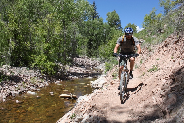
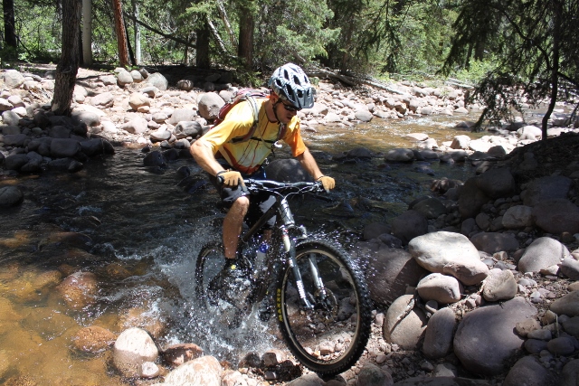
At Brownie Creek, you’ll reach a campground where you’ll have to ford the river. There is a way around this by taking the road, but what fun is that? If the river is low, go ahead and try to ride across it. Otherwise, you’ll be getting your feet wet anyway so might as well carry your bike across. It’s all part of the adventure. After the crossing, you have a choice – take the gravel road to the upper loop, or bike the steep, advanced, switchbacking trail that traverses across the mountainside. You’ll reach this intersection 4.4 miles from the first trailhead. I recommend you take the difficult path, because the road less traveled is… well, you know.
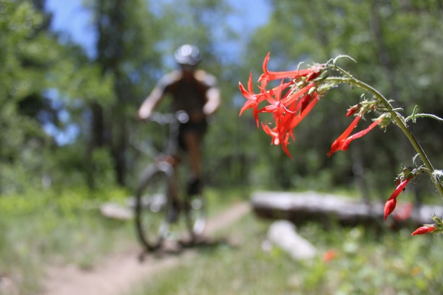
If you got what it takes for the hard stuff, stay left and follow the singletrack as it rises west, then north along the mountain among stands of pine. This section basically exists because of private property at the canyon bottom that must be bypassed. You’ll grunt up the switchbacking incline, then enjoy a fast-yet-undulating descent back down to where the trail rejoins the road.
At this junction in the upper canyon, follow the rocky path northwest while staying on the Flume Trail. There are signs pointing you in the correct direction. Three quarters of a mile from the last junction, you’ll come to a fork. This is the start of the upper loop. It is recommended that you ride the loop clockwise. It’s mostly easy going until the apex of the loop at about 8,300 feet. Then the trail sharply turns east and becomes very rocky. Intermediates will find it difficult here, and a full-suspension bike is highly recommended. After a half-mile of this, you’ll reach The Flume.
While this abandoned piece of history is a decent destination in itself, the real reward is just north on a footpath that leads along the Flume site to a creek. There is a nice beach here and if the water level isn’t too high, it’s the perfect spot of dunk your head to cool off or even go for a refreshing swim. Might as well have lunch or a beer here because, trust me, if it’s hot outside, you’ll be staying a while.
After you’ve had your fill of the river, continue down the Flume Trail on more rock gardens until this lollipop loop rejoins its stem. From here, simply follow your ascent route back to the upper parking lot where you can either torture yourself on the steep switchbacks again, or ride the fast and easy gravel road two miles to the second lot.
If you choose the road, you absolutely must get back on the trail at the second parking area because the descent from this point is the most fun of the entire ride. All the vertical and grunting through rock gardens will seem so easy on the way down. While it’s not the most bombing descent, you’ll still have fun pedaling through curving turns and over smooth river rock back to your car.
GPS track created by the Suunto Ambit.