Snowbird has added some sort of roller-slidey device and may (or may not) be adding a bunch more developments, but its classic terrain, big and steep, is at the ready for summer running or hiking.
I parked on the bypass road near the Powderbird heli-pad and got on the Blackjack trail. There are other ways to access the hiking at the Bird from the tram base, but there were zero cars where I parked. Not more than nine steps from my car I was in the elements, and after about thirty more, I was huffing for oxygen.
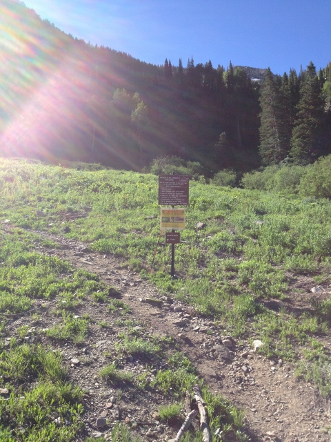
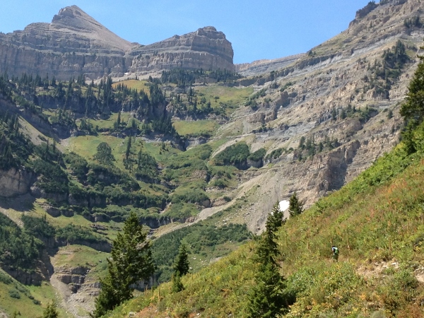
This steep singletrack trail connects you to the wider Peruvian Gulch Trail, which then basically goes, via many switchbacks, to the summit at Hidden Peak. The signs are well-marked and easy to follow, getting fully lost would be an endeavor. There are also many anti-erosion signs and spinning off onto your own version of a trail is highly frowned upon.
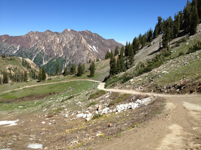
After connecting to the Peruvian Gulch Trail, the main trail is mostly a 4WD access road for patrollers, and builders and the like. Most people hike this route, and I tried my hand at running, though certainly not able to make a clean charge to the top. The loose footing and scattered snow bridges don’t lend themselves super well to a jog, but the incline, elevation, and struggling lung capacity were mostly to blame.

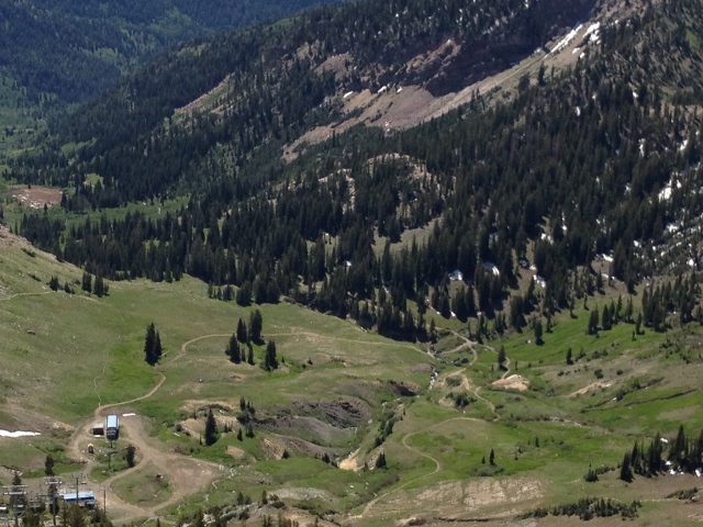
As an avid Bird-rider, seeing the undulations of terrain below the snow were amazing. When riding, you might wonder if there are rocks to hit just below the surface, but rarely do you think about the variety of the very bottom layer. Sometimes it’s a soft meadow with grass and pretty flowers, and sometimes it’s a jagged boulder field, with lurking rock spikes somewhere in the depths, as I noticed in the Tower 3 area of the lower cirque. Mental note taken.
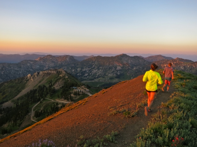
Time goes quickly as the beauty of the changing mountain takes the mind off the slog. Flowers are blooming and green shrubbery encompasses the entire lower-mountain, wide swaths of snow still hang around over parts of the trail, and a few pockets in the high north-facing zones could technically still be skied for a couple hundred feet.
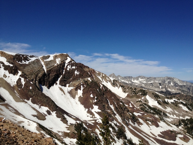
As everyone knows who skis the bird, the summit view is marvelous. Pipeline and the Pfeifferhorn sit to the west, with the remaining ribbons of white being just enough for a mind-shred. Mt. Superior is impressive as always to the north, with its vertical striations of brown rock enhancing its steepness. And the big bowls of Mineral Basin are mostly covered in a sweater of light green grass, with many trails leading down and away, giving ideas for a future, longer run.
A visiting scientist-hiker, who was in town for a conference, reminded me on the way up that you can take the tram down for free, but have to pay to go up. Rather wishing I didn’t know that fact, I resisted, opting for the classic round-trip experience, and a knee-pounding descent.
The round-trip distance is 8.2 miles, with over 3,000 feet of vertical. It’s a steep, challenging workout no matter how you slice it. Bringing water and sunscreen is essential, as the high-elevation summer sun will singe your skin and sap your hydration, but as is so often the case, the views make it more than worth the toil.