Start Point: Red Canyon Rim east trailhead, 7400 feet
High Point: See above
Trail Distance: 9 miles (round trip)
Trail Time: 2 hours, 30 minutes (allows for beer break at Flaming Gorge Overlook)
Skill Level: Intermediate
Best Season: Summer/Fall
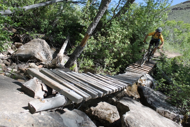
The Red Canyon Rim Trail is a U.S. Forest Service hiking path that has been identified as appropriate for two-wheeled usage. The trail has an old-school vibe that is really fun for hopping over large rocks, dodging ponderosa pines and white-knuckling brakes down steep embankments into shallow creeks. This is a thinking man’s trail without being overly technical. Not a grain of dust has been manicured or buttered for ease of tire rolling. Turns aren’t banked, trails aren’t “flowy,” and signage is sketchy at best. The scenery ain’t bad either as the trail winds through forested terrain in the Pondarosa Pine belt, which is filled with majestic trees and a great deal of wildlife. You’ll have the opportunity to see anything from mule deer to bighorn sheep on a regular basis.
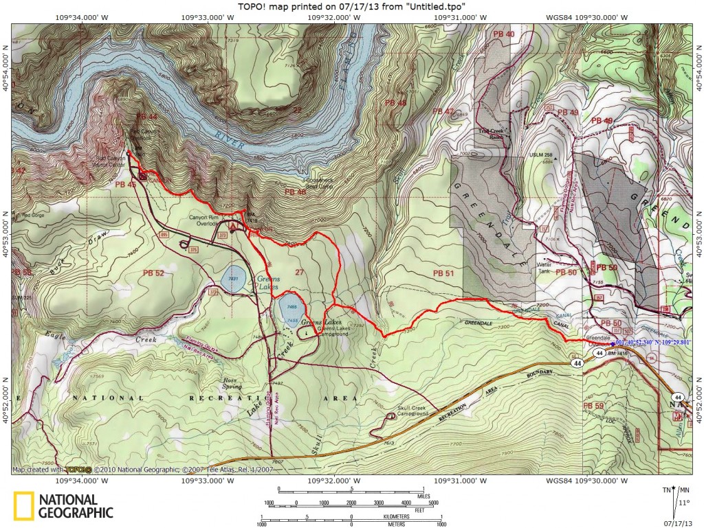
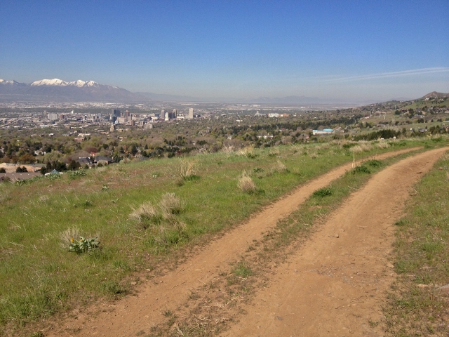
Getting There: From Vernal, drive north on Highway 44 over the Uinta Mountains. About 35 miles from town, you’ll reach a junction with highway 260. Stay on 44 for as it heads west for one mile until you see a scenic overlook on the right (north.) This is the east trailhead of Red Canyon Rim.
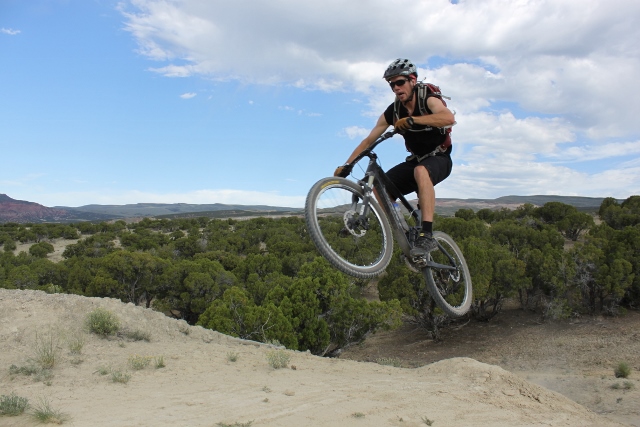
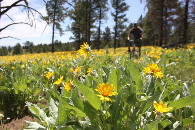
The Ride: From the scenic overlook, locate the trailhead on the west side of the parking lot. The singletrack immediately descends down into a Ponderosa Pine forest. It’s rocky and semi technical but still really fast and fun. At the bottom, the trail levels out for a pedal-driven romp through fields of wildflowers. Although there is very little elevation grain or loss at this point, things stay interesting as you have to negotiate rock slabs, rollovers and ledges. It’s still intermediate stuff, but if you’re pedaling a hard tail, you’ll find it to be a bumpy ride.
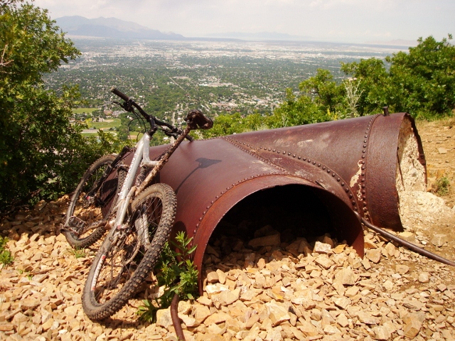
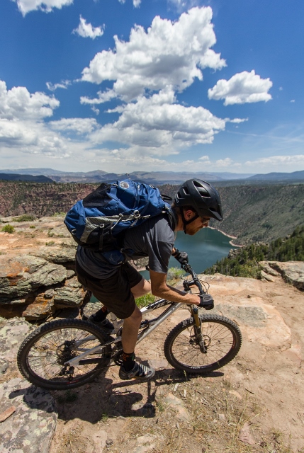
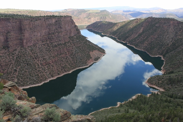
After winding through the trees and crossing a couple small streams, you’ll reach a crossroads at 2.2 miles. Left takes you to Greens Lakes and Red Canyon Lodge, but this is a good return path. Instead, go right as the trail contours along the edge of the Flaming Gorge rim. At mile 2.8. you’ll get your first glimpse of the huge reservoir far below. But the best viewpoint is near the Red Canyon Campground. Continue another 1.25 miles from the crossroads and prepare to stay a while. The viewing area an a wooden structure that practically juts out over the abyss. It’s a killer place to stop for lunch and watch birds of prey ride the canyon thermals.

After the viewpoint, the trails gets easy as it circumvents the campground and ends at the Red Canyon Lodge Visitor Center, 4.5 miles from the trailhead. To return, simply retrace your tire tracks back to the car. Another good option is to go back to the viewpoint, and soon after, take a side trail that goes west to Red Canyon Lodge. Be sure to visit the lodge for a cold drink or a complimentary trail map of the area. From here, ride around East Greens Lake and enjoy a fast descent back down to the crossroads you encountered before.
Of course you can also do the ride in reverse by starting at the visitor center and going in the opposite direction. Either way, Red Canyon Rim is a fun ride with some of the best views of any mountain biking trail in Utah.