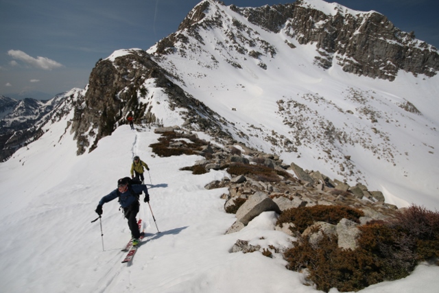
On a recent, roasting Friday night, I escaped the triple-digit valley life to tag along with trail runners Chris Cawley and Heather Kluk on a challenging loop run beginning in Alta.
Beginning just before seven in the relative cool of 8,500 feet, we passed the bottom of Wildcat chair and cut west on the trail above the bypass road to the houses between Alta and the Bird. We linked up to the Peruvian Gulch Trail, the trail that comprises the main hiking route for Snowbird in the summer.
I find that on these vertical-infused Wasatch trails that embracing the run/walk concept is critical to going the distance, as there are only varying pitches of incline, some quite severe, with a minuscule length of flatness. Slogging to keep a running cadence on a 15% grade, I venture to say, is not efficient. When your heels never get anywhere near the ground, stumbling over loose rocks and jagged trails, putting it in hike mode can be a better fit for the long haul.
But if you can pull off running the whole way, I applaud you. The Speedgoat 50k is very soon and that skill might play nicely.
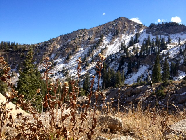
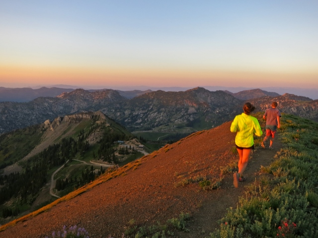
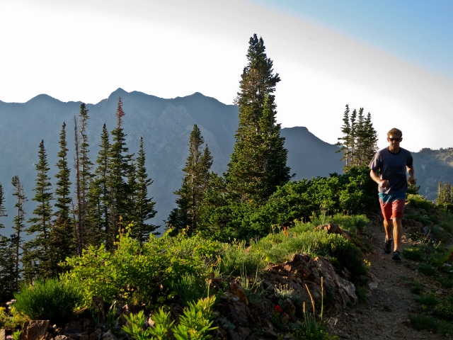
The Peruvian Gulch Trail links to the Ridge Trail just before you cross the flats at the bottom of North Baldy. The Ridge Trail is a tight singletrack with a some shade relief through the trees. The trail climbs up the lower cirque near Tower 3 to gain the ridgeline on the cirque traverse. From there, it’s a straightforward, rocky climb to Hidden Peak, where the tram lands.
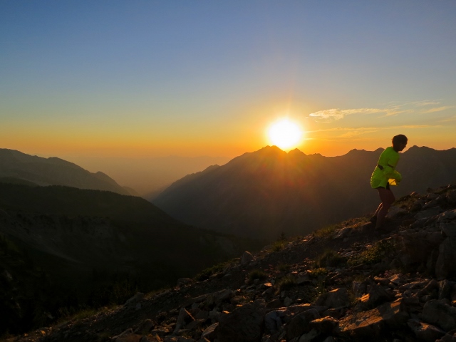
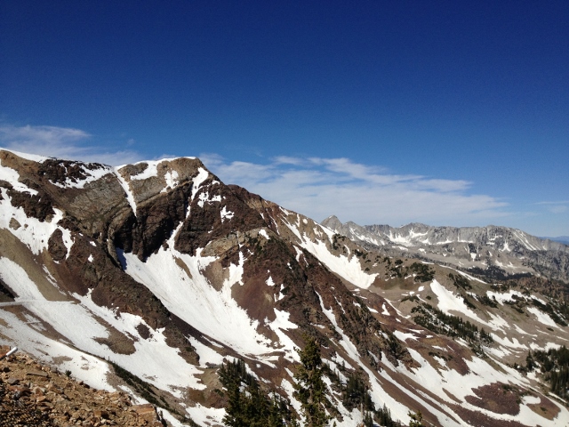
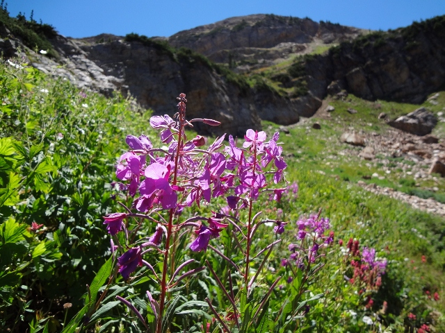
From Hidden Peak, we continued to the summit of Baldy, for some of the best views in the Wasatch. The blooming red, purple, and yellow wildflowers scatter the rounded peak and no matter which compass point you direct your eyes, you’ll take in layers of stacked mountain scenery. The fading sun added that soft, color-enriching screen. Through winter, access to this point is rarely open from Alta and even less common from Snowbird, making summer the time for easy access. If not wanting to climb the 3,000-foot vertical to Baldy, a ride on the tram will get you 90% of the way, with a 20-25-minute walk from the Tram to the peak.

From Baldy we transitioned into Alta for the descent. Negotiating the east side of Baldy requires a few tricky, slightly awkward moves down a steep pitch with loose footing. Once in Alta we cruised over Germ Pass and down the backside of the resort. The wide dirt road eased downslope at a gentle-on-the knees gradient as the light slipped further away. At the base of Sugarloaf lift, it was halfway dark, with a bright white rising moon. Through the finale I squinted through the dusk so as not to not stub a toe on one of the eight trillion rocks and splatter over the wildflowers.
Making it out to the bottom, we were spat out at the base facilities of Albion Basin and walked through the parking lot to Hwy 210 and to the car. Exhausted, hungry, in pitch black after 9.5 miles, I had a brimming stack of scenery in my head and a new favorite loop.