Start Point: Guardsman Pass, 9720 feet
Elevation Gain: 1,437 feet
Elevation Loss: 3,645 feet
Trail Distance: 15.4 miles (one way)
Trail Time: 3 hours, 30 minutes
Skill Level: Intermediate/Advanced
Best Season: Summer
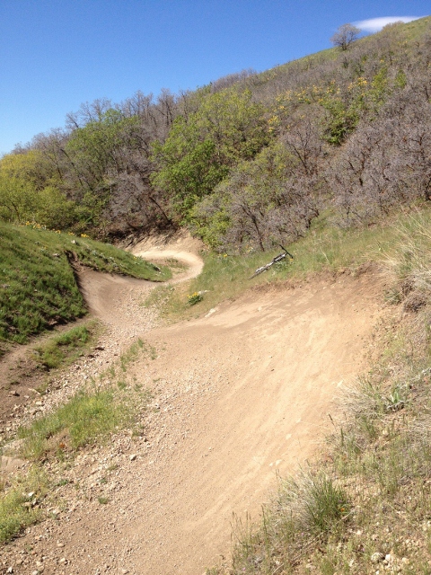
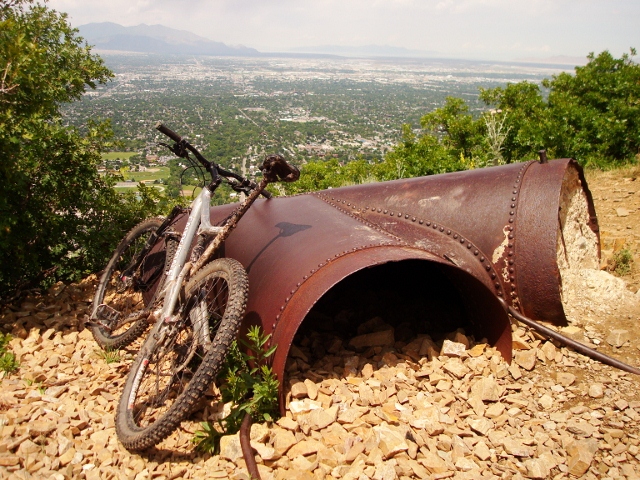
The Wasatch Crest Trail is probably the most famous mountain biking route in the Salt Lake area. There are many good reasons for its legendary status, such as an extremely well maintained single track, incredible views of Big Cottonwood Canyon and the Park City area, open spaces, old-growth forest, alpine lakes, and the simple fact that you can ride your bike along the crest of a major mountain range. The most typical way of riding the Wasatch Crest Trail is to begin at Guardsman Pass (where a shuttle vehicle is left,) and riding toward Salt Lake City. Typically, folks descend all the way down Mill Creek Canyon to the Pipeline Trail and down Rattlesnake Gulch to Wasatch Boulevard, or make a shorter shuttle by descending Mill D to Big Cottonwood Canyon Road. But this route steps it up a bit by adding a bit of both worlds. A descent to Big Water offers another climb to Dog Lake before the bomb run down Mill D. Any way you choose to ride it, The Wasatch Crest Trail is a “must do” that local mountain bikers ride at least once every season. The scenery, quality of the trail, various options of descent and the overall experience makes mountain biking the Wasatch Crest Trail a sweet way to spend a summer day in the mountains of Utah.

Getting There: From the east side of Salt Lake City, take I-215 southbound and exit at 6200 South. Go left onto Wasatch Boulevard, then east up Big Cottonwood Canyon Road. Leave a shuttle vehicle at the Mill D North Fork trailhead and continue up the canyon. Once you reach Solitude Mountain Resort, go left at Guardsman Pass Road all the way to the top of the pass where large, dirt pullouts provide parking. The trailhead is on the north side of the road.
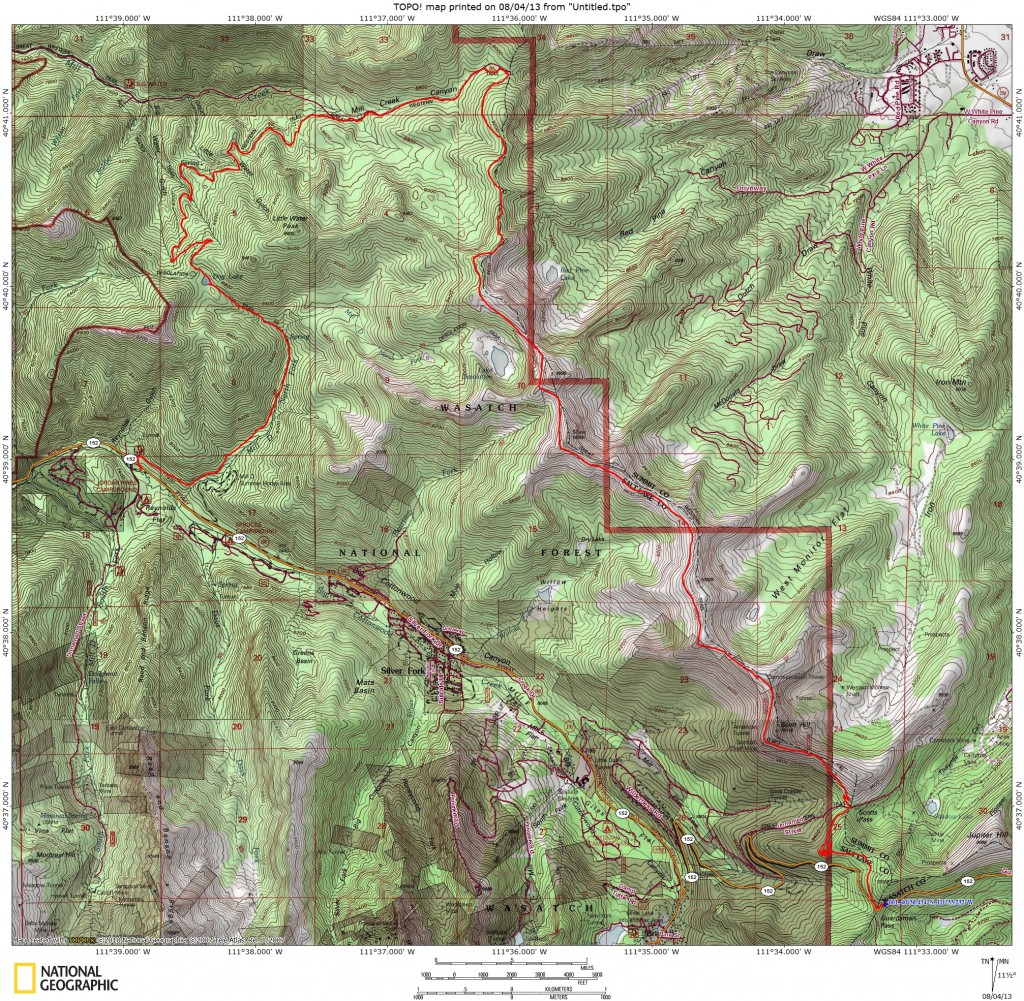
The Ride: From Guardsman Pass, ride the Scott’s Bypass Trail as it traverses north above Guardsman Pass Road before descending through aspen trees in a series of switchbacks. This short descent is only 200 vertical feet in 1.37 miles that ends at Scott’s Pass and the start of Puke Hill.
Ah, Puke Hill. This double track road with the ominous name is a long, steep and loose ascent that forces many riders to dismount and walk. Sometimes, those who tough it out and clean the ascent end up puking at the top (I’ve seen this firsthand) and so the name was born. It rises almost 400 vertical feet in .5 miles. Luckily, it is the only major climb on the Wasatch Crest as it brings you to the top elevation at 9,900 feet, where the real fun begins.

From the top of Puke Hill, ride the dirt road west toward the transmission towers. After that, the trail becomes a single track dream that coasts along the ridge while some of the most spectacular views of the Wasatch Mountains fall away to the north and south. About 2.6 miles from the top of Puke Hill, you’ll come to the Red Dirt climbs. The grade isn’t steep and the climbs are short, but if you’re tired from Puke Hill then you’ll be less than pleased with this additional climbing. Once at the top, you’ll be near the 9990 lift and the Canyons Resort, and get to look forward to the next challenge – The Spine.

The Spine, located 3.5 miles from the top if Puke Hill, is the most challenging descent of the ride, as it’s a spine of jagged rock that only the most experienced riders should attempt. Many people walk this section and for good reason, as a fall would assuredly mean wrecking yourself and your bike on the sharp rocks. At the bottom, there is a fork in the trail. Left goes to Lake Desolation and Mill D North Fork (another good descent option. For this ride, go right and climb a short bit back to the crest between Big Cottonwood Canyon and Mill Creek Canyon.
At this point, the trail becomes the Great Western Trail, which, as with all upper Mill Creek Canyon trails, can only be ridden on even-numbered days of the month. Continue riding through open meadows and alpine woods for 2.3 miles to a large flat where you’re officially on the Mill Creek Canyon side. From here, descend 2.9 miles to the Big Water Trail. Most Wasatch Crest riders keep going down Big Water to the Mill Creek Canyon Road, but for this ride, go left and start climbing for 1.4 miles to Dog Lake.
Take a break at Dog Lake before the final drop down Mill D. The start of the trail is on the southeast side of the lake. It’s steep, loose singletrack with water bars in place to spice up your descent. At the bottom of the initial drop, you’ll reach the crossroads with Mill D North Fork Trail and the Desolation Lake Trail. Stay right and continue down Mill D. Watch out for hikers as this bit of trail is very crowded! From Dog Lake, it’s 2.4 miles to the Mill D North Fork parking lot where you should have left a shuttle vehicle.