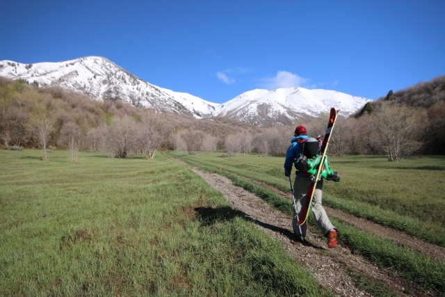
The road ahead is rocky, rutted, steep, muddy, snowy and treacherous. Taking a deep breath, I put my older-model Nissan Pathfinder into 4×4 low, and slowly crawl up the mountainside. I’m nervous, but Adam’s enthusiasm about the Pathfinder’s off-road capability convinces me to drive a mile beyond the trailhead parking lot on a route that looks more like an ATV path. We’re in the Oquirrh Mountains, en route to the base of Lewiston Peak for some backcountry skiing.
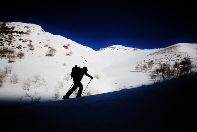
To my surprise, the Pathfinder rolls up to the base of Lewiston Peak’s west ridge with little issue. We park in a meadow, gear up, and begin skinning up that ridge under the bright, morning sun. But that sun doesn’t last for long as a massive line of dark clouds slowly march toward us, first obscuring Sharp Mountain across Ophir Canyon, then eventually gobbling us up as well.
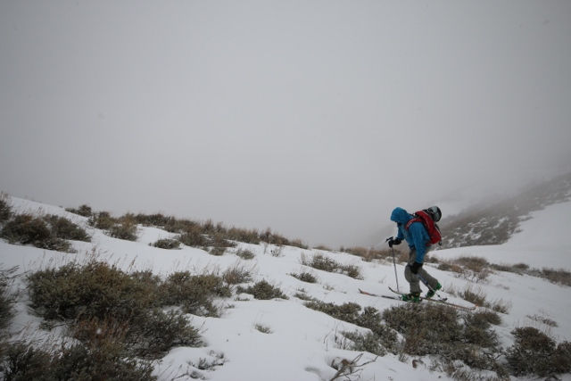
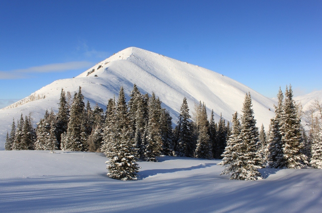
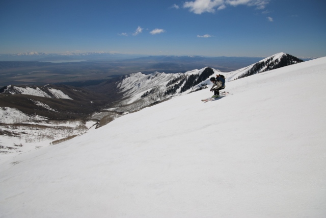
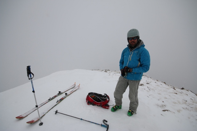
Visibility lowers to about 20 yards as we blindly make our way up the mountain. By staying on the ridge, navigation is easy, while aspen trees provide some semblance of contrast against the fog. After a steady march, we reach the divide in a few hours time, and traverse north to Lewiston’s 10,411-foot summit. As the third-highest mountain in the Oquirrhs, and with its placement as the southern-most summit, the top of Lewiston should offer some of the most sweeping views this side of the Wasatch. But the weather continues to shut us down with a sheet of white, along with a biting wind that forces us to ski down to the pine trees for our “summit” lunch.
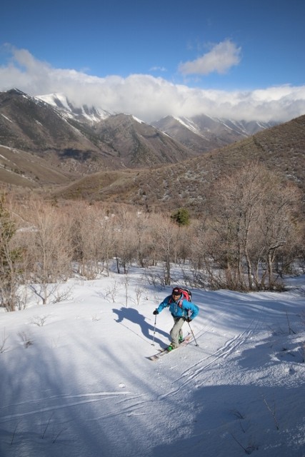
With no change in the weather for the past few hours, and none on the horizon, we decide to end our day early and ski down to the car. The north side of Lewiston is covered in evergreen trees, which is perfect for skiing in the fog. After as refreeze the night before, and about two inches of new snow on the ground, my turns are both crusty and soft, like skiing on melted marshmallows slathered over a graham cracker.
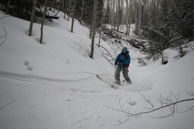
At the bottom of the forest glades, the aspect falls into a steep gully. We ride out the natural half-pipe, but have to skirt some serious log jams and fallen trees along the way. In under an hour, we’re back at the car where a slippery descent down that nasty “road” gets us back to civilization and some burgers and beers at the Bonneville Brewery in Tooele.
Editor’s Note: Do not access Flat Top Mountain or Lewiston Peak via Pole Canyon from Cedar Fort. The upper portion of the canyon is private property.