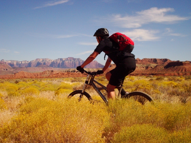
The Coyote Canyon Loop is one of the premiere mountain bike trails in Heber City. Its proximity to the Park City trails means this loop sees little love from Salt Lake riders. But if you’re willing to drive past Park City’s world-class trails to discover something different and new, then the Coyote Canyon Loop is absolutely a worthy destination.
Coyote Canyon was cut in 2013 by the Wasatch Trails Alliance. The system is located on private land owned by the Sorenson Family, who operate it as a sheep ranch. As a result, you’re likely to have a memorable ride as you pedal through herds of sheep while tipping your helmet to a horse-mounted cowboy (sheep boy?) overseeing the flock. Because the trail is on private land, it is essential to respect the area so the land owners have no reason to shut down access in the future.
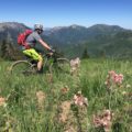
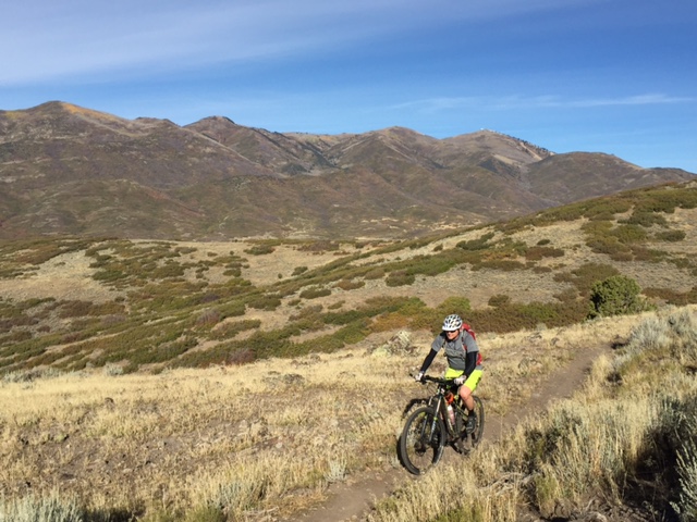
As for the trail, it is a classic, must ride loop. You’ll find 20 miles of expertly-built singletrack that winds through scrub oak groves, aspen forests, up the sides of mountains and through chunky rock gardens. The trail system here can be technical in spots, so it is recommended for intermediate and expert riders. But beginners can enjoy the loop as well by walking any technical sections. However, there are few exits on this long loop, so you must be in good enough shape to complete a 20-mile loop… and it is no cakewalk.
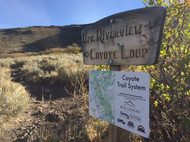
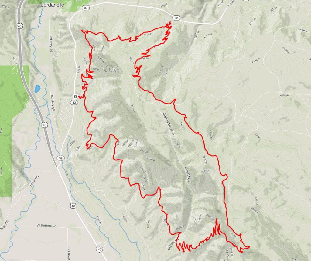
The Coyote Canyon Loop has four different trailheads, including Upper Riverside, Lower Riverside, UVU Campus, and a new one on upper Highway 32 off the north side of the mountain. From either trailhead, the Loop can be ridden both directions – clockwise and counterclockwise. I’ve done it both ways and think either direction provides the same amount of challenge and fun. Going counterclockwise makes you ascend up the major switchback section, and allows for a more flowing descent back to your car, so I’ll describe a sample ride that way.
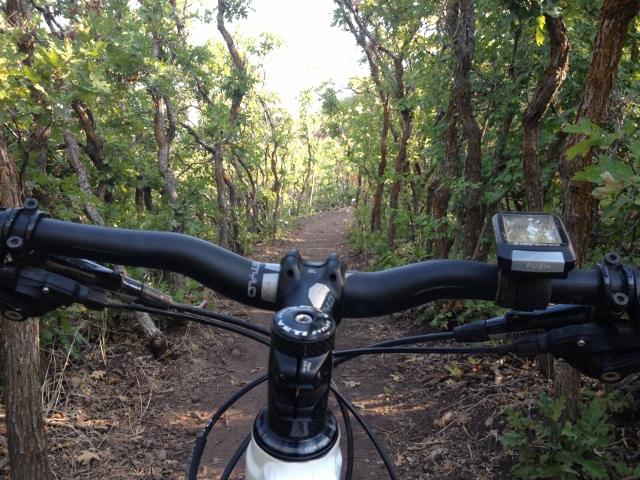
To begin, park at the Riverview Trailhead, a dirt/gravel patch off the east side of Highway 32. The trailhead is basically a set of wooden steps that allow access across a cattle fence. Carry your bike over the fence and ride up the trail for a quarter-mile to a fork. Stay right and ride the trail southeast through scrub oak forests and open meadows. The trail here is mostly flat with a few punchy climbs, but pretty much just traverses a bench above the Heber Valley.
Along the way you’ll pass other trails. First, you’ll come to the intersection with Sheep Bones that goes down to the Lower Riverview trailhead. Stay left on the main trail. Next, you come to the intersection of the UVU Connector that goes down to the campus trailhead. Again, stay left. Finally, a trail will appear on your left (marked by cairns) that goes straight up the mountain with a series of switchbacks. This is the new Chop’d Coyote Trail and it cut the Coyote Canyon Loop in half. Use this to make a shorter loop – otherwise, stay right on the main loop.
After about 6 miles into the ride, the real climb begins. The trail ascends up the southern end of the mountain and it is a serious switchback-fest. The climb is long and a bit tedious with all the switchbacks, but it’s never too steep. Conditioned riders can bang it out without stopping, no problem. There are a few chunky, rocky sections to maneuver over, but nothing too technical (though some may opt to “hike-a-bike”).

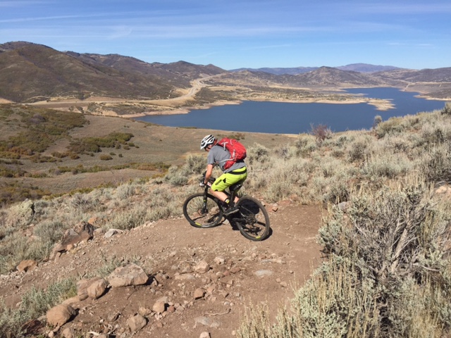
At the top, the trail levels out, though the riding doesn’t get much easier as it’s a bunch of rock gardens that will challenge your bike-handling skills. Don’t get too sucked into the riding here, because you’ll miss astounding views of Mount Timpanogos and Cascade Mountain across the Heber Valley. There are several spots here at the top of the mountain that are good to stop for lunch where you may soak in the view.
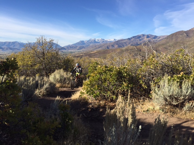
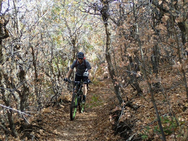
From here, the trail traverses the top of the mountain in a north/northwesterly direction back toward Highway 32. The descent is flowing and fun as the singletrack winds through aspen forests and eventually down to more scrub oak as you lose elevation. While fun, the downhill can still be a bit “pedaly” (in my opinion) and could benefit from a bit more grade. At the bottom of a large flat area, you’ll come to a three-way intersection. Stay left (right goes down a new trail to a newer trailhead on upper Highway 32.)
To the dismay of some (myself included) the trail climbs again to gain the top of a ridge. Now the steep descent begins. It’s a fun and fast (but rocky) downhill with well-built berms and plenty of terrain variation to keep things interesting. This is not a flow trail, but almost an old-school descent that will keep you honest. At the bottom, you’ll come to the first intersection where a right turn takes you back down the Riverview Trailhead where you parked.
Overall, the Coyote Canyon Loop is an awesome cross-country mountain bike trail that is not for the weak. A 20-mile grinder of a loop will make you work, sweat, and occasionally gripe, but all that work is worth it when you see that view of ‘Timp, and bang out a killer descent through lush aspens. Hell, you may even get chased by a sheep dog protecting its flock. In short, the Coyote Canyon Loop trail is worth the extra 20-minute drive beyond Park City.
Getting There:
From Salt Lake City, drive east on I-80 past the Park City exit to the Highway 40 exit. Go south and drive toward Heber City. Just after you descend into the Heber Valley beyond the Jordanelle Reservoir dam, you’ll come to a major intersection with a traffic light. Go left on Highway 32 and drive up for 1 mile until you see the Riverview Trailhead on the right. It’s just a gravel/dirt pullout but is hard to miss.
Map: