

Spring is the time to backcountry ski or snowboard those big, steep lines you’ve been eyeballing all season. With a more stable snowpack, and melt/freeze cycles creating supportable corn snow, there’s no better time to tick off a steep objective. Butler Basin on Gobbler’s Knob is one such place.

Butler Basin is a huge cirque of steep, wide-open snowfields that encircle a large, rolling meadow. At the head of the basin is the summit of Gobbler’s Knob (elevation 10,246 feet) and Point 10224. From these two peaks, you can ski big northeast-south aspects down faces with 1,000 feet of uninterrupted fall-line. It all leads to low-angle terrain that adds fun meadow-skipping down the remainder of the basin to the bottom of Butler Fork.

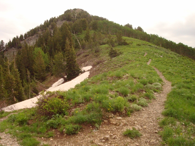
To ski Butler Basin, drive up Big Cottonwood Canyon and park at the Butler Fork trailhead 8 miles up the road. Ascend the drainage for a half-mile to the intersection of Butler Fork’s west and east forks. There is a sign here but is usually buried under the snow. Go right into the east fork. Follow the drainage through Scary Gully. Soon after you exit the gully, you’ll find yourself at the base of Triangle Ridge on your left. Ascend the steep, undulating ridgeline to the top of Gobbler’s Knob. The ridge can be challenging with large cornices, wind affected snow, and exposed ground/rocks. In some places it’s easier to take off your skis and just kick-step your way up.

Another route is via Baker Pass in Mill A Basin. From the west/east Butler intersection, go left into West Butler to the top of the West Butler Saddle. Follow the summer Desolation Trail route (be wary of avalanche danger on the slopes above on your right) and traverse to the bottom of Mount Raymond’s shoulder. Switchback up the face to Baker Pass, and go right on the ridge, following it to the top. This ridge is also narrow and undulating, so it poses equal challenge to Triangle Ridge.

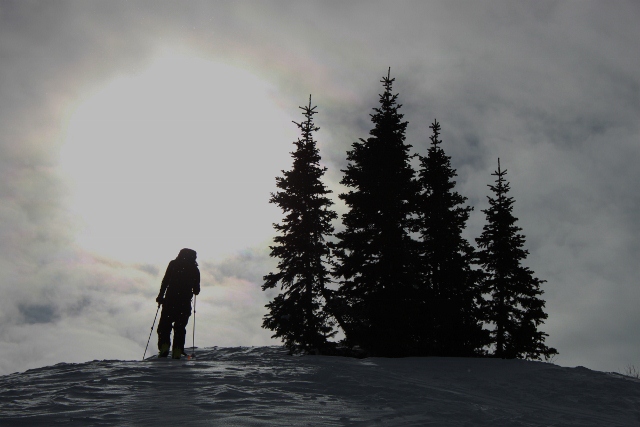
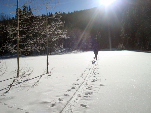
From Gobbler’s summit to Point 10224, you have many options for descending into Butler Basin. Be very aware of avalanche danger as these slopes are steep and big. Spring corn skiing is the time I like to visit this dangerous terrain. Once you complete the task of making turns on the steep stuff, enjoy mellow cruising through aspen and evergreen trees in the lower basin to the bottom of East Butler Fork where you can follow your ascent route back to the trailhead.

Always check the Utah Avalanche Center’s avalanche forecast before heading out, and be sure to pick up a copy of “Backcountry Ski and Snowboard Routes: Utah” for more details on this and other tours in the state.


Great website Jared – keep up the good work!