Mountain biking along the Wasatch Back has gotten even better with the addition of the new High Star Ranch trails. Located on a mountainside above the DeJoria Center in Kamas, High Star Ranch currently has 16 miles of machine-cut singletrack, with more to come.

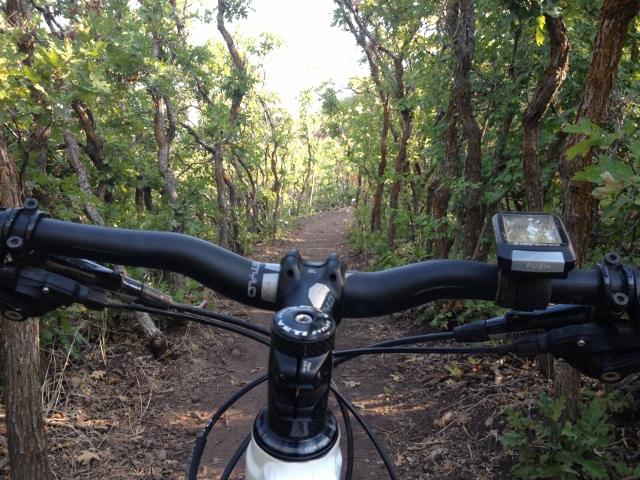
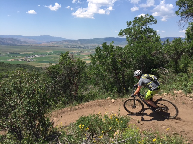
This network consists of loops both low in the mountain and higher up, so that you can create as long of a ride as you’d like. Radiating out from the main loops are variation trails for choose-your-own-adventure type riding. Each trail was born with the DNA of modern mountain biking with berms, rock drops and even directional trails to maximize the fun factor.

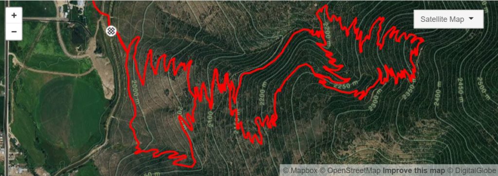
While there are many ways to ride High Star Ranch, in this article I will describe what I call the Big Loop (which is actually three loops linked together like a rock-climbing daisy chain.). The trails are not named (yet) so you can name them yourself for your own reference. Still, navigation can be tricky but there are color-coded carsonite posts that help you orient with the use of a map.

The trailhead is located at the DeJoria Center in a large parking lot where a small sign indicates the start. A bit of singletrack traverses above the lot behind the DeJoria Center buildings, then climbs up to a fence with a step-over. Find the sign-in sheet and map, plan your route and leave your info, then start mountain biking.
Beyond the fence, stay right at the first trail fork where the singletrack begins to climb. At the next fork, go left onto an uphill-only, intermediate trail (right is a bi-directional easy trail). Both paths lead to the same place, but I like going left to avoid downhill traffic. This blue trail eventually intersects with the green trail. Stay left and keep climbing up green, keeping right at the next fork which is the start of a downhill-only blue that exits at the trailhead.

Keep climbing this bi-directional green, ignoring the downhill-only blue on the right until you come to another fork, this time a downhill-only trail on your left. Go right and switchback up. The next fork is the start of a downhill blue. Go left. The next fork is the start of a green downhill-only trail. Stay right onto a blue uphill-only trail that switchbacks all the way to the top.
Sound confusing? That’s why you’ll need a map on your phone or take a picture of the map at the trailhead to help navigate.
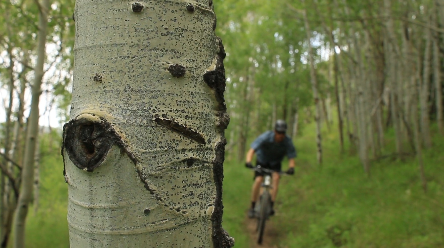
You know you’re at the top because the trail enters an aspen grove as it starts to descend. This is the upper intermediate downhill. For the most part this section is fun, fast and flowy with excellent berms and a few features you can choose to jump off. It ends at the intersection of the bi-directional green you climbed up. Go left and climb again to the start of the middle intermediate downhill. This descent is a lot more rocky, narrow and rugged than the upper loop. Expect mandatory drops and teeth-chattering rock gardens. It’s all well built and easy to clean, but I wouldn’t recommend riding a hard tail (saying this from experience.)

At the bottom of the middle intermediate loop, you’ll once again be back on the bi-directional green. Ride down, passing two blue trails on your right until you come to a third fork. This is the start of the lower intermediate loop. Go left on a trail that hangs above a valley. The path soon goes downhill with tight switchbacks and more semi-technical rocks and drops. At the bottom, ride the bi-directional green back over to the trailhead and parking lot.
This “Big Loop” is about a 10-mile total ride, but you could easily make it longer by adding in the other 6 miles of trail that off-shoot from this recommended route.
Once of the best parts of the High Star Ranch trails? There’s a tavern at the DeJoria Center for post-ride drinks.
High Star Ranch has big expansion plans. It is a working ranch that is being sub-divided into housing developments. That means the trails are on private property. While the public is allowed to use the trails, be sure to do everything possible to keep the property pristine – it is great that we are allowed to enjoy this new trail network for free, so let’s keep it that way.
Driving Directions:
To mountain bike at High Star Ranch, drive to the town of Kamas in Summit County. In the middle of town, drive north on SR 32 for a few miles, then turn right at the obvious High Star Ranch entrance. From there, stay on this road, passing the DeJoria Center and following the “trailhead” signs to the large parking lot where the ride begins.