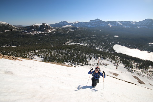
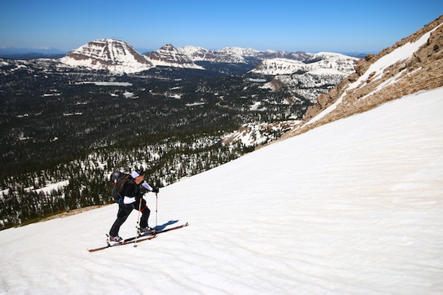
Spring skiing in Utah’s backcountry means we have the ability to access routes that are closed off to those of us who don’t own a snowmobile. The Uinta Mountains is the biggest example, as the Mirror Lake Highway is closed all winter and doesn’t open up until May, usually around Memorial Day Weekend. But when that road gets clear of snow, then it’s time to grab your skis and get up there for some of the best, and longest-lasting, spring skiing in the state. Here are just a few of my favorite lines to hit.
MOUNT WATSON

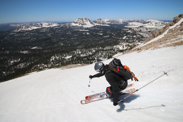
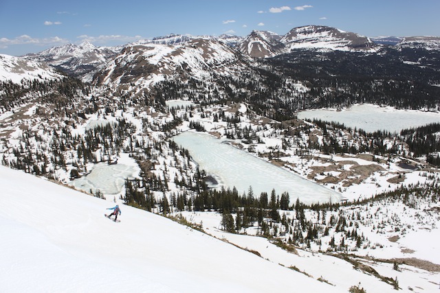
Mount Watson is a beautiful peak, with an impressive, steep east face. Despite her intimidating presence when viewed from afar, the mountain is easy to reach in spring and offers descent routes from advanced steeps to intermediate, low-angle shoulders.
To ski Mount Watson, begin at the summer parking area where popular hikes like Wall Lake and Notch Mountain begin. From here, follow a road north to the Crystal Lake parking area. Find the trail on the northwest corner of the lot that goes to Long and Island Lakes. Follow this about a quarter mile to a small metal sign pointing the way to Cliff Lake on the right. Leave the main trail here and head north.
This trail switchbacks up to Cliff Lake. Circumnavigate the lake and continue north where you’ll pass Petite Lake, followed by Linear Lake, then Watson Lake at 10,400 feet. It’s a little over 1 mile from the trailhead to this point. Watson Lake is where you’ll get your first look at the mountain’s east face, so it’s a good spot to plan your descent. Go around the lake and skin to the mountain’s northeast shoulder. Follow the ridge as it curves up to the top of Mount Watson.
Descent routes are varied and fun, but can be limited in the spring after a big melt. The east face has the steepest lines but can be dangerous if you summit later than noon on a warm day. The west ridge is a long run that allows a faster return to the trailhead, but is often windswept and bare in late season. Perhaps the safest place to make turns is the north-facing ascent route, followed by a descent of a large bowl on the northern-most side of the east face.
BALD MOUNTAIN
Perhaps the easiest Uinta spring tour is on Bald Mountain. The peak hunkers down just off the Mirror Lake Highway on Bald Mountain Pass, and the route up is straightforward as you can either follow the summer trail from the pass for south-facing shots, or boot straight up the east side of the mountain from Mirror Lake.
To ski Bald Mountain from the pass, locate the summer trailhead at the end of the parking lot on the north side of the highway. The trail makes several short, sharp switchbacks before traversing west to the end of a corniced cliff. Once you get up onto the broad summit ridge, it’s an easy, low-angle, half-mile skin to the top. Ski the low-angle summit ridge, followed by the steeper south face back to the car.
Personally, I think the better route is on the mountain’s east side. From Mirror Lake, skin up a meadow toward Emerald Lake. You reach the lake in just under a quarter-mile. From there, the terrain becomes too steep for skins, so begin booting up the east face. It’s about 1,600 vertical feet in half-a-mile to the summit ridge, where a short skin south puts you on the true summit. Most years, the spring snowpack doesn’t cover the rocky top of the mountain above 11,400 feet, so if you’re intent on climbing to the top, prepare to scramble up boulders and loose scree in your ski boots. Otherwise, ski down the east face from the top of the snow line back to Emerald Lake and your vehicle while avoiding the large cliffs near the bottom of the run.
MURDOCK MOUNTAIN
Another easy tour with little approach is Murdock Mountain. This rounded summit is right across the highway from Bald Mountain. Steep, north-facing chutes have the best skiing, and the return route is short enough that you can do several laps.
Navigation on Murdock Mountain is super easy. Just head southeast from the car up the mountain’s west flank. After a quarter mile and only 160 feet of vertical, you’ll hit the boulder fields. Stay left of the boulders, and follow the north edge of the mountain where you get above a series of steep chutes and tree shots that fall off the north side for 500 vertical feet. The runs may be short, but good corn lasts well into spring here.
From the bottom, you can easily skin back up to the highway for more laps.
HAYDEN PEAK
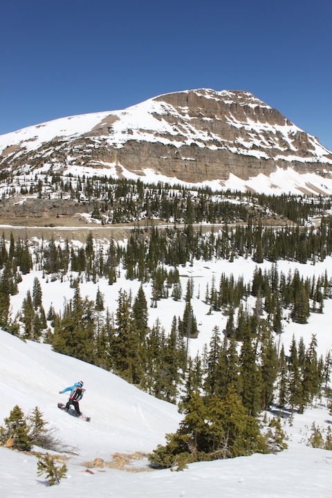
The most impressive mountain along the Mirror Lake Highway is Hayden Peak. From afar, it may look unskiable as nothing but huge cliffs ring around the summit. But there are some lines like the Mountaineers and Reynolds Wrap Couloirs, and moderate runs that spill off Point 11820. Access is fast and relatively easy from the Highline Trailhead at Hayden Pass.
To ski Hayden, park at Hayden Pass, and skin east across a vast meadow directly toward the peak On the far side of the meadow, you’ll reach the base of the twin couloirs (Mountaineers to the south, Reynolds Wrap to the north.) Climb up the wider and shorter Mountaineers Couloir (ice axe and crampons recommended) for around 1,400 feet to the top of the ridge overlooking Middle Basin, then ski your chosen line back down.
For a moderate tour, head to Point 11820. To get there, cross the meadow as described above, but just before you reach the far side, turn southeast into the evergreen trees and contour up along the bottom of Hayden’s lower cliffs and a small, cliff-strewn sub ridge that lies on the Summit County/Duchesne County line. Make your way east along undulating terrain to the bottom of a west-facing snow field. Climb this for 870 vertical feet to ridge-top cliffs that are split down the middle. The east-facing couloir found in this notch is a beautiful descent into Middle Basin.
To continue to the top, skin north from the notch an additional 120 feet to the summit of Point 11820. To descend, follow the ascent route or ski a wider, more southerly-facing slope on skier’s left, then skin north back to your skin track and follow it to the car. Many skiers will descend these lines, then skin back up to the ridge and ski Mountaineers Couloir, which spits you out much closer to the trailhead.
There are many more mountains that can be skied in the spring along the Mirror Lake Highway once it opens to vehicle traffic. Keep checking the UDOT website for current road conditions and closures. Sometimes the road opens earlier than Memorial Day Weekend, but if there is a lot of snow, it may open later. But as soon as it does, be ready, because May and June skiing in the Uintas is the best way to extend your ski season well into summer.

For more detailed information and maps of these routes, purchase my book, Backcountry Ski and Snowboard Routes: Utah, published by Mountaineers Books.