Hikers from all over Utah are drawn to the San Rafael Swell during shoulder season. Spring and fall are the ideal times to explore this huge expanse of canyon country. Adventures range from classic hikes like Little Wild Horse slot canyon to more extreme forays like the Upper and Lower Black Box canyons. If you are looking to test your skills but aren’t quite ready for ropes and rappelling then Ding and Dang Canyons are ideal destinations. Slots, potholes and many obstacles make for one heck of a day hike.

Though it is remote, getting to the trailhead is fairly simple. From the town of Green River follow I-70 west for 12 miles and exit at Highway 24 (Exit 149). Drive south for 24 miles to Temple Mountain Road and turn west. Follow the signs for Goblin Valley State Park. Just before the park, turn right onto a well maintained dirt road that leads to Little Wild Horse Canyon trailhead. LWH is five miles down the road, but don’t stop there. Continue 1.3 miles past LWH to where a large wash meets the road. There are parking spots and a good campsite under some cottonwood trees. This is where the hike begins.
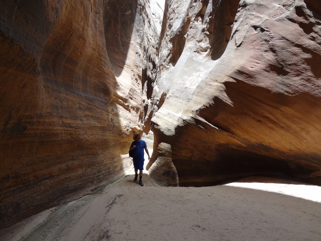
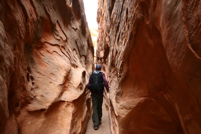
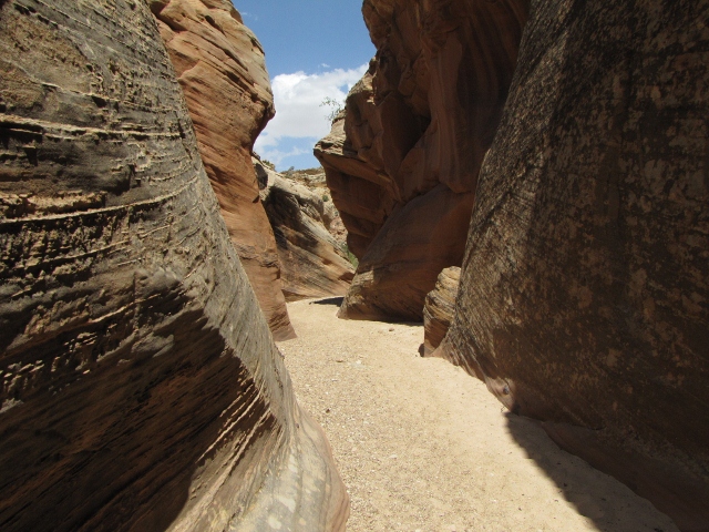
Hike up the wash for one mile. The sand/gravel floor is tough going but easy to follow. After one mile the wash splits; head up the right fork for Ding Canyon. You will know you’re in the correct fork if you see a healthy cedar tree right after the split. The entrance to Ding is marked by a large quartzite slab. Walk right up the steep face and enter the San Rafael Reef. Ding narrows to a nice slot section. Chockstones, small puddles and intricately carved rock layers await your exploration. There are a few tough obstacles but nothing that should halt your progress.

After the slot portion, Ding widens but remains interesting. The upper portion features a few large keeper potholes followed by smaller ones. Those of you who do not want to hike in the smaller potholes can simply use the ledges on the north side to skirt them. After this section you will be deposited on the west side of the Reef… the view is amazing. The badlands stretch as far as the eye can see, undulating between layers of sand and rock that are as beautiful as they are lonely.

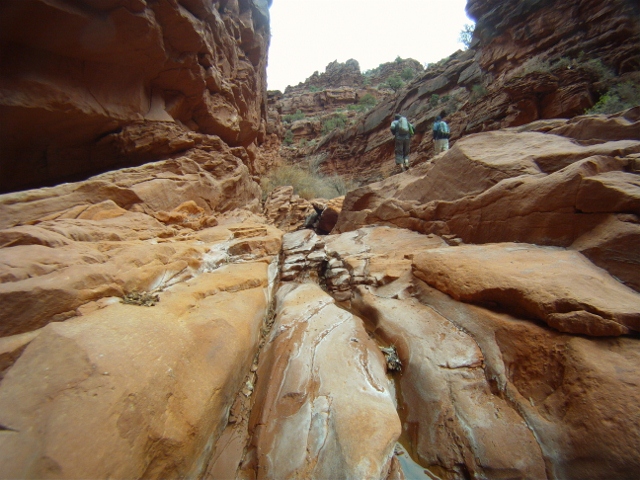
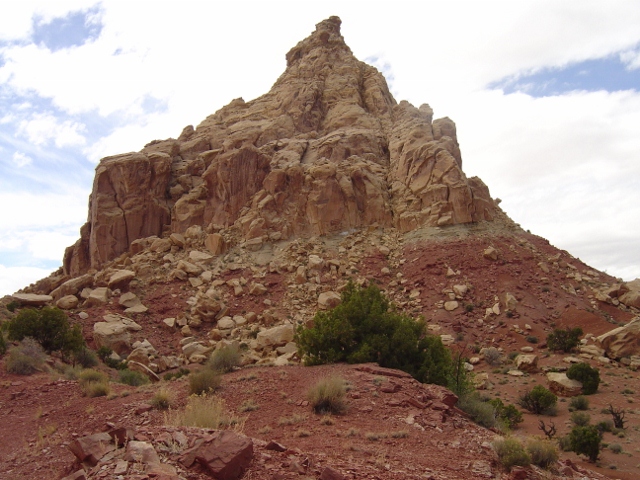
Ding Dang Dome is a large pyramid of rock that stands alone between the two canyons. A foot trail heads towards the dome and will bring hikers to the upper part of Dang Canyon. The second half of this hike starts off easy enough but you’ll soon be employing the full array of canyoneering skills. There are some easy obstacles to downclimb in the upper part of Dang; these will get you warmed up. A 20-30′ dryfall marks the beginning of the narrows and will be your first test. You’ll have to figure out the way around this unless you plan to rappel down. Dang narrows even more and the chockstone problems line up: the end of this canyon really delivers on fun. Chimney, stem and wiggle your way around the obstacles blocking your path. Dang almost always has pools of water in the lower section, you can wade through these or stem across them, either way it’s sure to be a good time. When you emerge from the Reef simply follow the wash a half mile back to the split with Ding, then another mile back to your car.

Allow 3-5 hours to complete the 5 mile Ding and Dang canyons hike. Bring a partner because these canyons are often empty and help is a long way off should you get hurt. If you really want a challenge, try this hike in reverse: ascending Dang will turn the chockstones into 5.8 boulder problems! Groups with children or lesser skilled hikers will still enjoy going up Ding and doubling back to the parking area. Never enter a slot canyon if rain is in the forecast; flash floods are a very real and dangerous possibility here.
Essential gear: a good pair of hiking shoes/boots, plenty of water
Maps: “Little Wild Horse Mesa” USGS 7.5 topographical