
The Brighton Resort area is a great place to hike when summer heats up the valley. Wide trails, easy navigation and gorgeous views are the name of the game up here. If you don’t have a full day but want to get over 10,000′ then the answer is easy: Mount Millicent. The peak stands tall over the parking area and is a great hike for those looking to get high without the usual effort needed in the Wasatch.

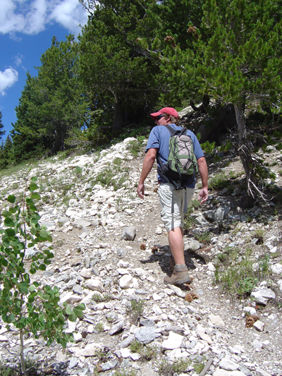
The hike begins at the Millicent base area. An obvious access road switchbacks up the slopes that most people are used to carving down on boards and skis. Follow the road/trail until you reach the base of the Twin Lakes Dam. From the dam, head left up the steep road and continue until you reach the top of the Millicent high speed quad. There is a ski patrol hut and some shade under the lift, so catch your breath and take in the views of Brighton and upper Big Cottonwood Canyon. The last portion of the hike is the hardest- straight to the top of the mountain.

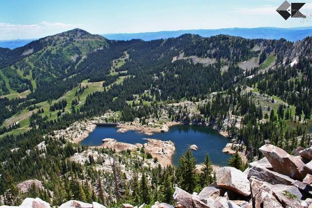
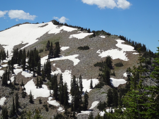
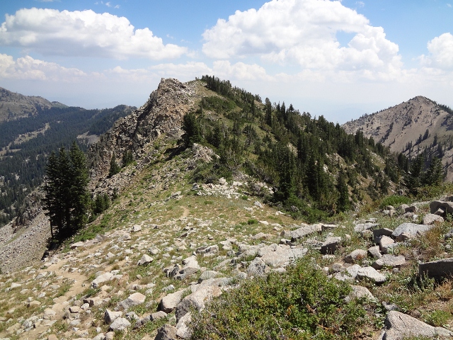
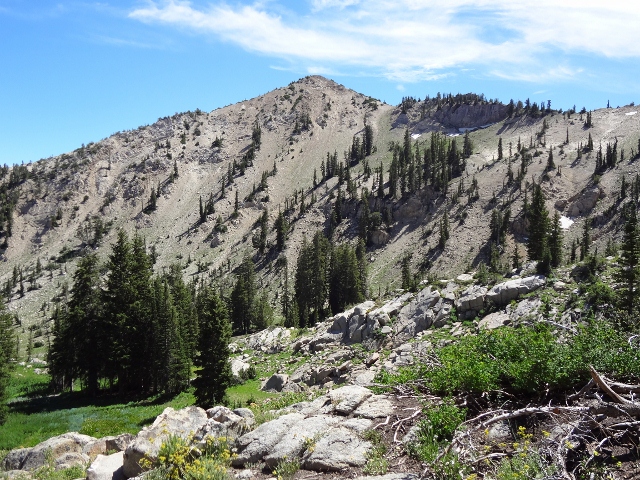
From the ski patrol hut the route is obvious- follow the ridge directly to the peak. Mount Millicent is basically just a huge pile of boulders; yes, this sounds intimidating but don’t worry, most of the rocks aren’t going anywhere. Test each boulder before stepping onto it and pick your way up to the peak. There are a couple wooded spots on the ridge that make for good places to rest if needed. When you summit you’ll have top notch views of the Brighton bowl, Honeycomb Cliffs and several alpine lakes. Total distance to bag Millicent and return down the same trail is 4 miles and will take you between 3 and 5 hours to complete. At 10,452′ it’s tough to find another hike that can deliver heights with such moderate effort.

Getting There: Follow Big Cottonwood Canyon Road all the way to Brighton Ski Resort. Park near the Millicent base lodge/lift.
Maps: Hiking the Wasatch (published by Wasatch Mountain Club and U of Utah Press); “Brighton” USGS topo map
Dogs: No dogs allowed in Big Cottonwood Canyon

I did that when I was younger–much younger–bk (before kids)