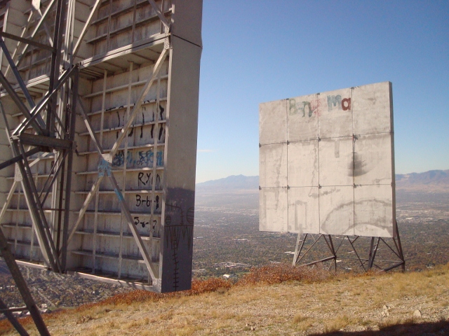
Mount Van Cott is an unassuming mountain with a summit elevation of 6,348 feet that looms over the University of Utah, directly behind University Hospital and the Huntsman Cancer Institute. While Mount Van Cott is small in stature, it’s still a worthy hike for a morning or late afternoon and can be accomplished in less than two hours on a good day. Plus, it’s a mountain that’s easy to ascend all year long.

There are many ways to the top of the mountain thanks to the urban masses scrambling to the top, bush-whacking up in the most direct way possible. But for practical reasons, it’s best to find the easy way up, following the path of least resistance to avoid any unnecessary erosion on the mountainside.
Turns out, the easy way is the most obvious and well traveled, though perhaps difficult to navigate with the plethora of side trails that spiderweb around the Bonneville Shoreline Trail above the city. Basically, start at the tiny parking lot next to an electric sub station above the Jewish Community Center across the street from University Hospital. Walk through the chain-link entrance and follow the jeep-road double track up a bit. A steep trail on the right appears and links up with the Shoreline Trail. After a few yards, a left turn takes you up toward the foot of the mountain. At a critical juncture, however, a left turn onto a singletrack trail is the key, as continuing right will only allow you traverse on the Shoreline toward Emigration Canyon. Choose this singletrack, which soon widens as it switchbacks straight up the side and follows the ridge all the way to the top of Mount Van Cott.

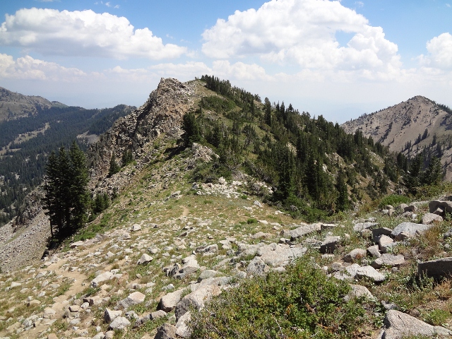
Following the ridgeline can be a pretty awesome hike. The low angle slopes mean an easy stroll with good views looking down into Dry Creek to the north. The city spreads out below, and vistas stretching east deeper into the Wasatch reveal themselves, where you can make plans to hike those peaks that live further away.
The trail continues to a summit saddle and splits. Left takes hikers into the backside of the Wasatch foothills, where you can find a true remote experience where anything urban is hidden away from view. The trail to the right goes straight to the top, which is marked by exposed rock and short scrub brush. The summit is a nice place to have a picnic before hiking back down to the car.

To Hike Mount Van Cott, drive from Salt Lake City on 100 North eastward all the way up to University Hospital. Look for the Jewish Community Center on the left and turn here. Follow the parking lot to the right where a tiny lot above the center has a few spaces next to an electric substation. The trail starts here.
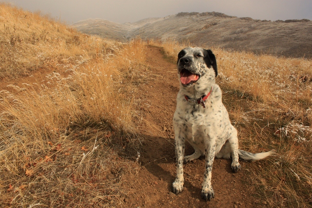
The trail up Mount Van Cott is highly exposed to the elements, and can be very hot in the summer. It hike is best in the spring or fall, but dry winters means excellent hiking all year. Dog technically must be on leash, but once hikers get to the upper trails, the leashes usually come off, making this a dog-friendly hike. Just be sure to keep your dog under control at all times.

So if you’re looking for a short jaunt to the top of a Salt Lake summit where you can take in the view, give the dog some exercise, or give your own legs a quick workout, then Mount Van Cott is a safe bet. The trailhead starts right in the city, the path ascends without any steep angles, and the views are among the best in the upper valley.