The Corner Canyon Trails are an expansive biking, running and hiking network out of Draper, and the home of a few low-key races. The 100-mile Bonneville Shoreline Trail (BST) runs right through the middle of the area and connects many of the trails.

Getting there from SLC requires several miles on the 1-15, and dealing with potentially stifling congestion. I’m a believer that the fewer people encountered on the way to, and during, an outdoor pursuit makes it all the better, but a messy commute is unavoidable at times for unbridled access to the vast reaches of the Wasatch.
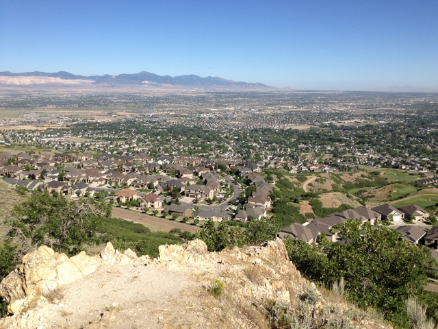
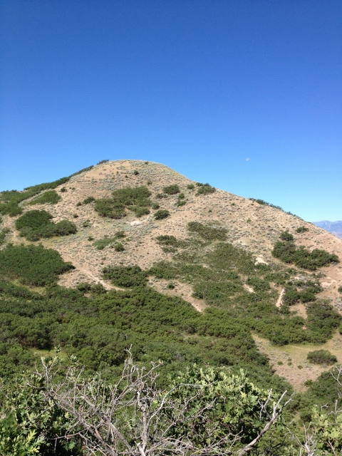
I began at the Potato Hill Trailhead, off Traverse Ridge Road, which is off exit 288. From here, the crowds disappear and yet again you can find, for the most part, a solitary nature experience with a full view of the Salt Lake Valley and its sprawl below you. A view of sprawl might not be ideal, and I saw some frightening signs of what I thought was increasing pollution in the far west valley, but due to the openness of the area and close proximity to Draper, the urban environ is a common sight.
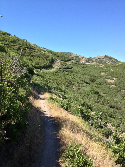
Not to say many of the other sights aren’t splendid. Well-maintained and low-angle trails are the norm and some pleasant views of the rolling and golden-brown hills are on offer to the east. Archways of gamble oak provide some shade and create mini-tunnels, providing respite from the typically unprotected landscape that can boil on the hot days.
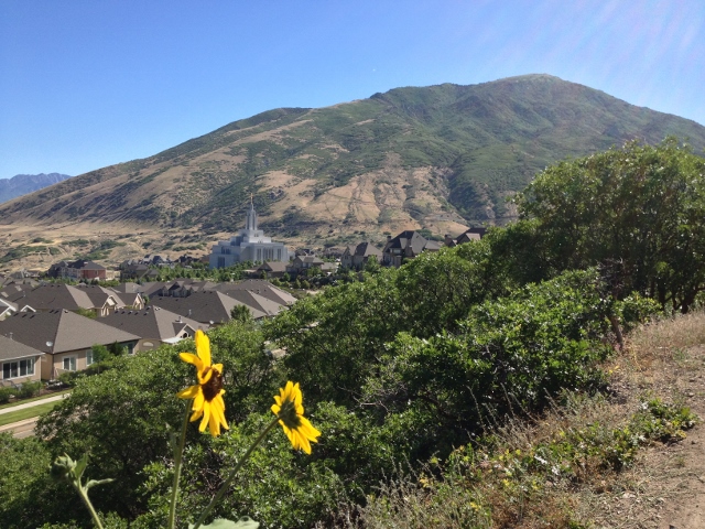
I took the Potato Hill Trail around the lumpy, short, and bulbous Potato Hill a half-mile to the BST. On this initial section you are afforded a stunning view of the intricate and massive Draper temple, blindingly white and dwarfing the nearby houses, no easy feat, as they are predominantly enormous homes bordering on mansion levels. From the BST intersection I went left, or west for about a mile, and then slight left onto Red Rock trail for about a half mile.
As this was my first time running in the area, I may have flubbed the directions and ran towards an area that should have been avoided. The trail system opens up more if you head east on the BST towards the Jacob’s Ladder area. This direction takes you away from the city, where I was basically running back towards it. When I hit the Red Rock Trail I was basically running parallel to the road I had driven in on, making for poor scenery. Then the finely groomed and smooth trail devolved into jumbled, rocky mess before leading to some sort of construction project. I turned back a bit baffled and annoyed.
Nevertheless the area holds unlimited miles of running trails that are challenging yet accessible as they aren’t super steep like much of the mountains. The area does seem to be populated at a fair level with bikers and the normal safety precautions should be taken for not being run over. As a chronic iPod athlete, I forced myself to leave the ear buds in the car as the narrow trails seemed dangerous to navigate without the ability to hear anything. Indeed, several times I came around a soft corner to find a biker in very close proximity to me or a large Draper family out for a stroll.
Regardless, I fully plan on returning to the area for a long, easy jog over the hills of Draper.