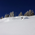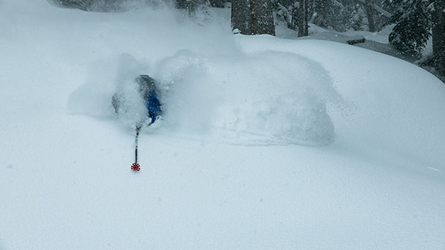
Skiers and snowboarders in Utah sure were nervous just before Thanksgiving when there was zero snow in Utah’s mountains. Boy what a difference a week makes! A massive, 48-hour snow storm dumped huge amounts of powder on Utah’s ski resorts across the state measuring in feet, not inches.
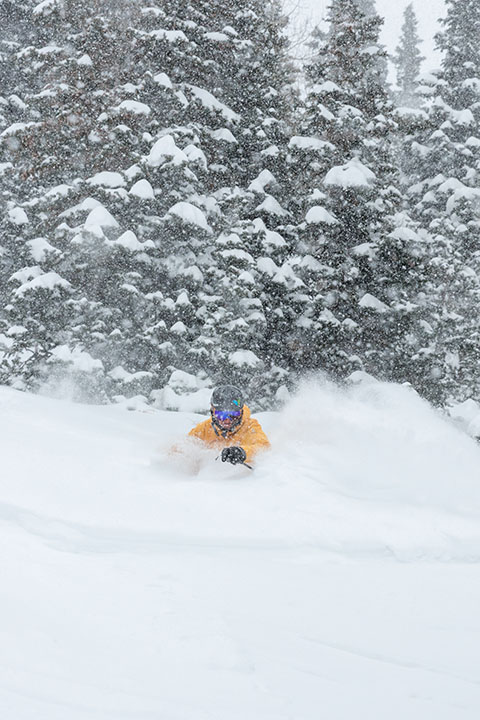
According to Ski Utah, the big winner was Eagle Point in the Tushar Mountains, which is scheduled to open on December 17. They reported over 54 inches in two days. Resorts in the Cottonwood Canyons also scored big. Alta came in at 38 inches, Snowbird totaled 37 inches, Brighton got 32, and Solitude rounded it out with 37.
“Starting the winter ski season with a storm like the this sets a great tone for the season,” says CEO/President of Ski Utah, Nathan Rafferty. “Storms like these give Utah its reputation for The Greatest Snow on Earth, but it also sways the destination skier to choose Utah for their winter vacation, which as a result helps our state economy.”

According to Evan Thayer from Wasatch Snow Forecast, there is even more snow on the way. “There is a break this afternoon into Wednesday in the forecast before another storm, which will bring light accumulation on Thursday and possibly more early next week.”
Here’s a breakdown of the storm totals from all Utah’s ski resorts:
Alta: 38″
Beaver Mountain: 12″
Brian Head: 7″
Brighton: 32″
Cherry Peak: 10″
Deer Valley: 20″
Eagle Point: 54″
Nordic Valley: 10″
Park City: 24″
Powder Mountain: 27″
Snowbasin: 24″
Snowbird: 37″
Solitude: 37″
Sundance: 30″
To keep apprised of future storms or current snow totals, SkiUtah.com always has the most up-to-date information all in one place.