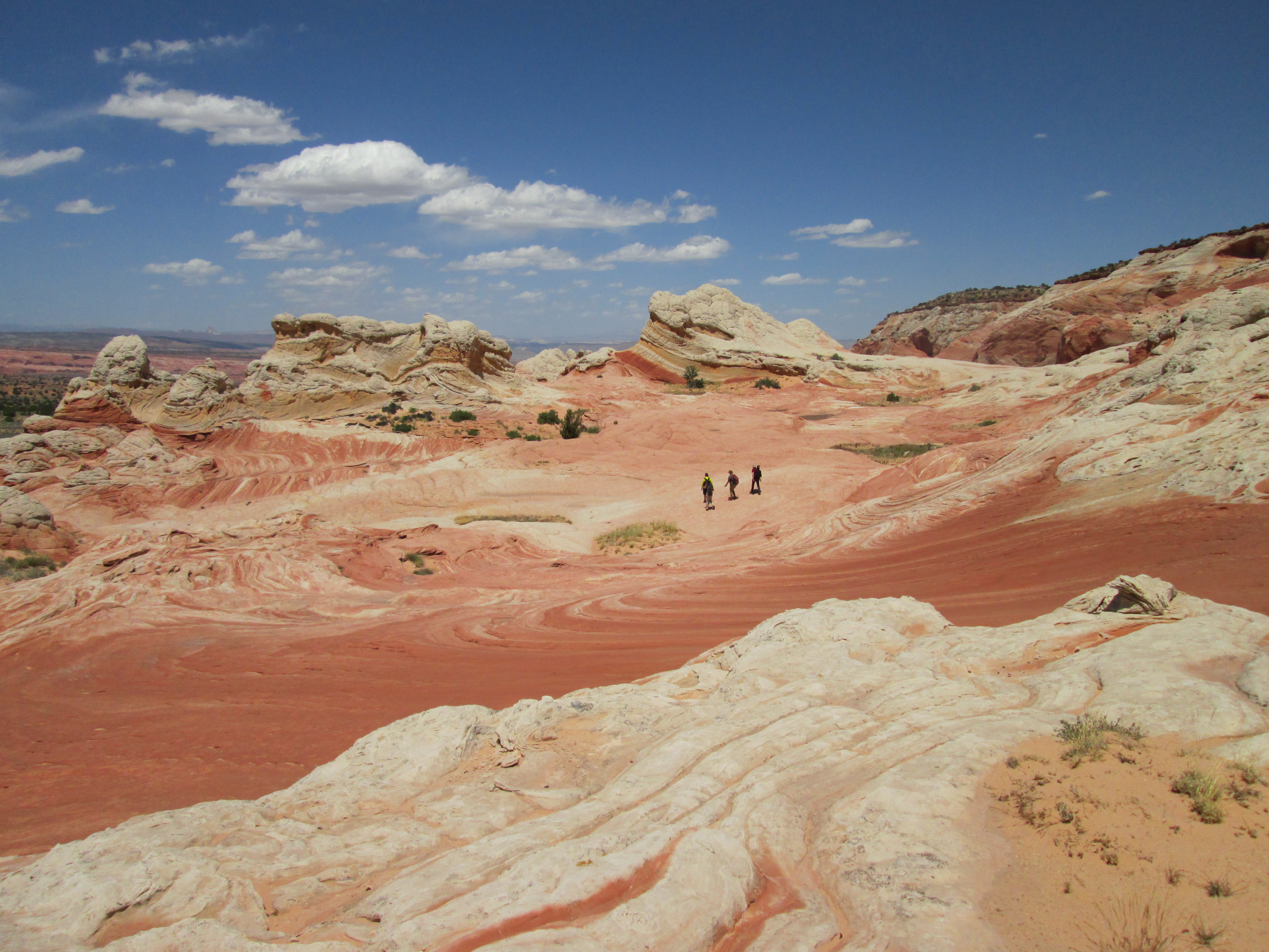
Colorado National Monument in Grand Junction is only 19 miles from the Utah/Colorado border, therefore is a must-see stop while on a Colorado road trip. This part of Colorado might as well be called “Utah East.” The monument’s red rock canyons with deep, dramatic cliffs would be at home anywhere in southeastern Utah. There are dozens of hikes one can do in the monument. But if you’re short on time, there are some easy hikes right off the road that provide outstanding views. So below are five easy hikes in Colorado National Monument.
CANYON RIM TRAIL

When entering Colorado National Monument’s western side, one of the first hikes you drive to is the Canyon Rim Trail. This easy 1/2 mile hike begins at the visitor center and, like the name suggests, follows the rim of Wedding Canyon to the Book Cliffs viewpoint. The hike is fairly level as it winds among pinion and juniper. Views of Independence Monument and other rock pillars in the park are outstanding. While the path is not well marked (there are many side trails) getting lost is impossible because the road is on one side of you and the canyon is on the other. The trail ends at the Book Cliffs viewpoint, but you can continue your hike on the Window Rock Trail.
WINDOW ROCK TRAIL

The shortest hike on this list is the Window Rock Trail. The trailhead is found in the Saddlehorn campground at the Book Cliffs viewpoint. You can also start the hike at two other trailheads on the campground’s Loop C. At first the trail descends a short ways before leveling out as it approaches the canyon rim. Traces of an old asphalt trail are found beneath your feet as you hike. The hike abruptly ends after a quarter-mile at a fenced overlook at Window Rock, a natural archway with sweeping views of the Grand Valley.
ALCOVE NATURE TRAIL
Across the road from the visitor center is the Alcove Nature Trail. This hike is popular because of its end point – a deep box canyon that is a stark contrast to the open spaces of other hikes in the monument. The trail is only a half-mile one way, and has 31 numbered markers that coincide with informative entries in a guide booklet. Information includes plants and animals in the park as well as the geological history.
OTTO’S TRAIL
Named after the monument’s founder, John Otto, this trail is a short hike to a dizzying overlook. While it’s only a half-mile one way, Otto’s Trail is worth doing for views of Sentinel Spire, Pipe Organ, Praying Hands, and the tallest freestanding formation in the canyon, Independence Monument. The hike is an easy out-and-back with a minimal sloping grade. Find the trailhead at a pullout on Rim Rock Drive a mile south of the visitor center.
COKE OVENS TRAIL

The Coke Ovens Trail is named after a rock formation that looks like a row of pioneer-era coke ovens. These dome-shaped rocks are impressive in their own right, but the views of Monument Canyon are sure to please as well. This hike, while only a half-mile long one way, is a bit more difficult because of a few switchbacks and 180 feet of elevation gain/loss. But well-maintained rock steps keep things easy on the feet and navigation is simple with signs at intersections. The trail ends at the Coke Ovens overlook. To make a longer hike, this trail intersects with the Monument Canyon Trail that comes up from the canyon bottom.
The Coke Ovens trailhead is found on Rim Rock Drive at a pullout 3.8 miles south of the visitor center.
All of these five easy hikes in Colorado National Monument are appropriate for all ability and fitness levels and can be especially fun for kids. For more hikes in the monument, both short and long, visit the Colorado National Monument’s hiking webpage.
And if you’re a mountain biker, search for trails in nearby Fruita and Grand Junction in our Mountain Biking archive.