Tom’s Hill is one of many backcountry ski areas in the ever popular Mill D North Fork of Big Cottonwood Canyon. Open spaces, glades, and low-angle slopes are the main features of this little knob amongst larger brothers like Reynolds and Little Water Peaks. But its diminutive size (9,040 feet) is what sets Tom’s Hill apart and makes it especially appealing during those high avalanche danger days.

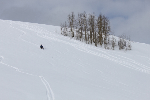
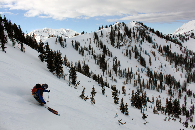
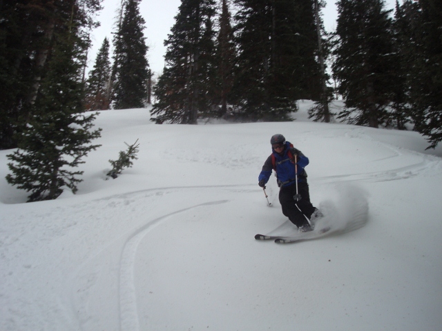
There are many ways to ski Tom’s Hill, and everyone has their favorite shots. You can ski the long vertical of its east slope, which tends to have less snow and gets sun baked really fast on warm days. Or you can do laps on the north side where aspen and pine trees reside. Low angle terrain is good here when snowpack conditions are unstable. Slope angles average around 30 degrees in the open spaces, though steeper lines can be found in thicker trees between the summit of Tom’s Hill and Reynolds Peak.

Whetever your preference, Tom’s Hill is a good option for a ski tour in Mill D North Fork. Although it’s not as convenient as Short Swing, it takes less travel time to reach Tom’s Hill than other destinations like Big Water or Powder Park. However, if you are touring in the further reaches of the drainage, Tom’s Hill is the perfect line to hit on your way back to the car, especially if the North Face of Reynolds Peak is dangerous. Simply traverse to Tom’s Hill instead, and enjoy the protected powder back to the skin track in the valley below.

To get to Tom’s Hill, drive up Big Cottonwood Canyon and park at the Spruces Campground, located 10 miles up the canyon. Walk across the highway to Mill D North Fork. Follow the skin track through a neighborhood of summer cabins and into the main drainage. After a mile and a half, you will come to a fork at a sign nestled within an aspen grove. Take the left (west) fork and follow it towards Dog Lake. After a short time, look for a skin track that goes up a small side drainage to the left. Follow this track up to the top of Tom’s Hill.
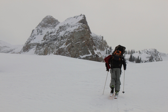
You can also get to the summit of Tom’s Hill from the top of Reynolds Peak by traversing east, or you can go straight up the southeast face from the bottom of Mill D South Fork. Either option is viable depending on your touring plans for the day.

As always, bring a beacon, probe, shovel and a buddy when venturing into the backcountry and go with a knowledge of avalanche safety. Check the Utah Avalanche Center’s daily report before heading out.
View 40.649094, -111.623118 in a larger map