For me, no other roadside attraction in Utah provides the aesthetic allure of Mt. Superior. Its enormous concave face lets the imagination run wild, and even in the fall, with not (just yet) a speck of snow on the ground, it’s easy to mind-rip big turns all over its intricate structure and terrain diversity.

The 3,000+ vertical fall line dumps straight into Highway 210 and all LCC skiers are familiar with the frequent road closures it causes, and many have experienced the the blissful, steep and varied terrain on its famous south face.
Hiking to the summit I followed the same route I would take when ski touring. From the OLS church I hiked the switchbacks to Cardiff/Pole Line Pass and then along the ridgeline that heads west to the summit. Many summer hikers brave the SE ridge route up the lookers left ridgeline of the south face, but I’ve been advised to do this with a route-savvy buddy the first time, so I went the only I knew.
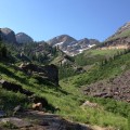
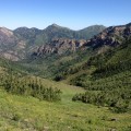
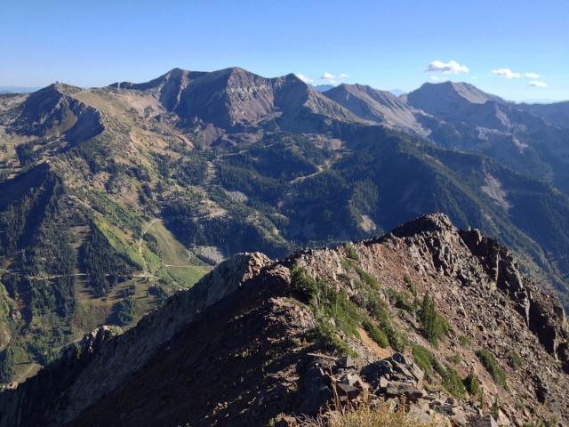
The scenery is dizzying. While ascending to Cardiff Pass you see Alta and the Bird, certainly world-class venues, but for resort skiers/hikers the jaw-dropping vistas come once after reaching Cardiff Pass. From there you can see into Day’s Fork, across Cardiac Ridge, the north side of Superior, Monte Cristo and many more gems of the Wasatch.
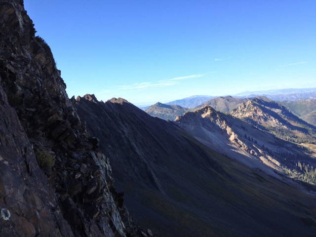
The hike itself resembles bits and pieces of trails that bounce back and forth from the north and south side of the ridgeline and sticking to neither one. There isn’t really an established continuous route so tread carefully as it requires some delicate rock maneuvering. No ropes or any such nonsense, but it’s a rocky, knife-edge ridge with exposure at times.
Several times I followed small sections of the trail that were worn in by people who didn’t realize it lead to nothing. Then the problem worsens as more do the same thing and the vicious cycle continues. But save some light backtracking, with a touch of forethought the route is quite navigable with good scrambling confidence.
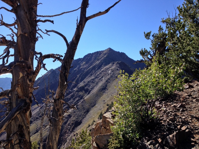
Arriving at the “Black Knob” the 10,500-foot sub-peak before the summit, I chose to stay on the south, or left side, though it led to some rugged shale-rock scrambling, and I can’t say whether that was the ideal choice.
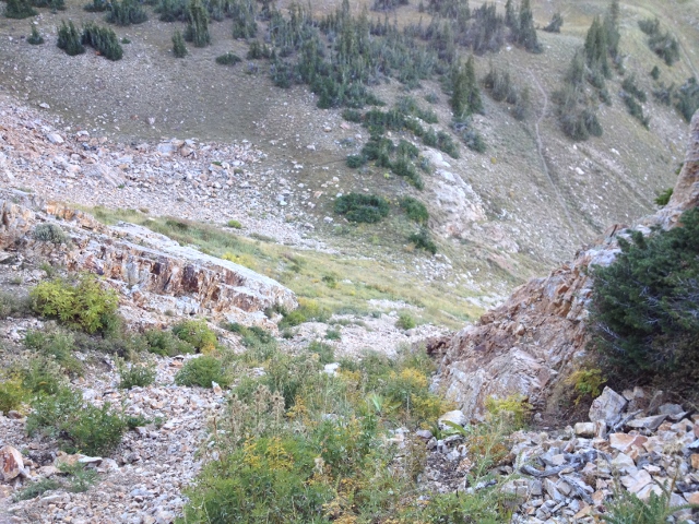
Once passed the Knob, it really isn’t a trail at all. In addition, the exposure element comes into play as on both sides are a steep pitch with nothing but rocks, some sharp, anchored and large, others small and loose, but none too forgiving to fall on.
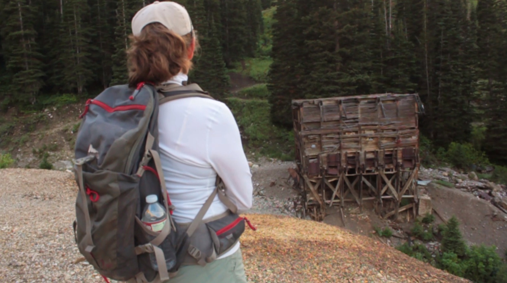
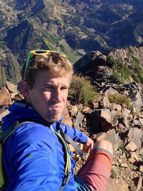
Reaching the summit, I saw trails of my breath and felt the chill of the rocks. I sat down to sip water and snap some Smartphone gems.
The way down follows the same path, though somehow it felt easier to see the “trail,” from above. However, when it came to rounding Cardiff Peak, the last ascent before Cardiff bowl and a mellow hiking route, I got lazy. Fast. A loosely defined trail paralleled the ridgeling route drooped slightly downhill. This lured me in as I thought I could skirt around the peak and save some effort.
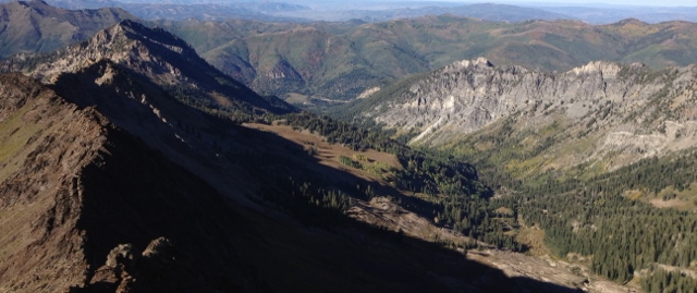
Yet I knew I was hanging over the large exposure of the Hellgate Cliffs several hundred feet below and that I was heading towards the cliff area of the east-facing side of Cardiff Bowl. I knew that area held mostly sheer drop-off but just hoped for an exit. Quite dumb, upon reflection. If there wasn’t a way through it would have been a lengthy reverse-trail scramble. Luckily there was a narrow channel between the bigger cliffs that was in no way a standard route. With some ugly and sloppy descending it linked back up to the Cardiff trail.
Back on the trail it wound down and out to the highway. With a six mile round trip and 2,500 feet of total vertical, it’s a sure way to warm up the legs and the mind for a long and powder-filled winter.