Boy has it been a slow start to the ski season. What began as a promising winter in October with a few big storms quickly led to a high-and-dry December where what little snowpack we had rotted away under immovable high-pressure systems. Well, that all changed in the first week of January as a series of storms swept across northern Utah and dumped much needed powder on the Wasatch Mountains. We took advantage of Ullr’s bounty at Alta, where it seems the most snow fell as far as the Central Wasatch is concerned.

It all started on Wednesday, January 8th as the first in a series of storms moved through, dropping 4-7 inches on the Cottonwood Canyons. By Thursday, another 5-15 inches of snow fell, with Snowbasin getting most of the goods. Unfortunately, Friday brought strong winds that put many lifts on wind hold and there was even a rain event which caused a thin layer of rain crust to cover the snowpack up to 9,500 feet.
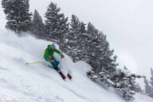
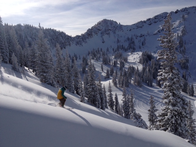
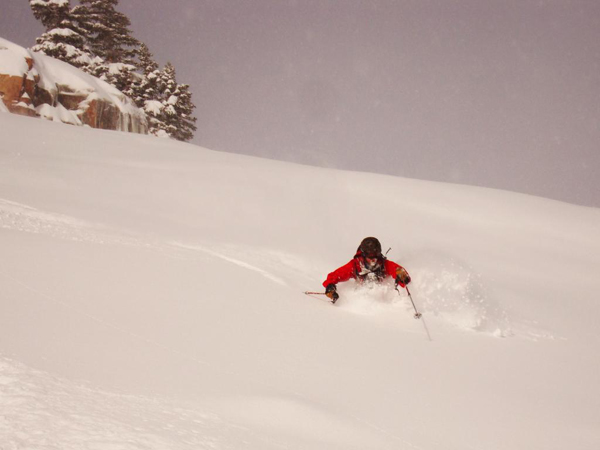
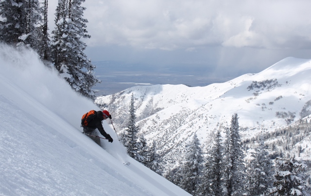
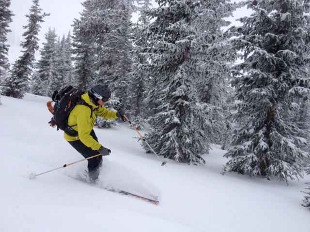
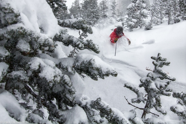
All was not lost though, as Saturday night redeemed us with another dose of snow. Despite even more high winds, the skiing was phenomenal at Alta on Sunday. Coverage is now far better than a week ago, and powder skiing is creamy, fast and fun. Runs under the Wildcat lift were protected by aspect and trees in the morning, leaving deep powder pillows in the trees for us to slash. Moving on, we found some of the best snow on the Greeley side of the High Traverse, where those high winds dumped all the snow into gullies below Lower Thirds, High Greeley, and especially Gunsight.
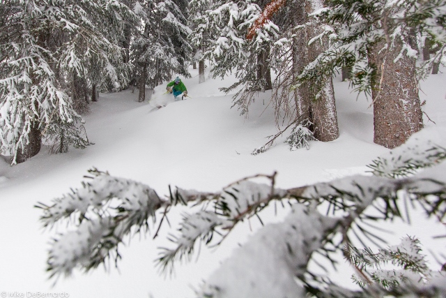
But we found the most favorable skiing in the area around Eagle’s Nest. These north-facing trees kept powder stashes all day. The photos speak for themselves, it’s high times at Alta and every other Utah ski resort now that snow finally returned to Utah. Get out there and enjoy it!