The Salt Lake City foothills are going to get new multi-use trails, and now is the time to look at their maps and comment on the Salt Lake City Open Space Plan. The city is currently seeking public input on these exciting trail development projects.
New Salt Lake City Trails

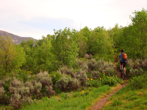
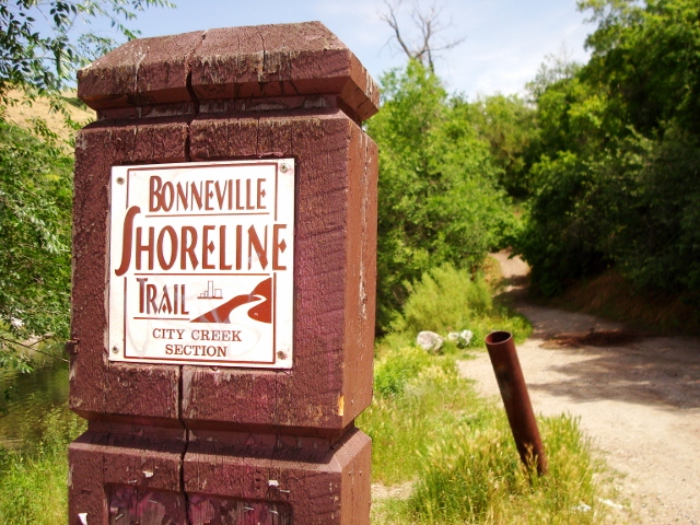
The current map from Alta Projects shows a wide range of new trails that spiderweb through the foothills. Singletrack is planned from North Salt Lake connecting to the Wild Rose area, all the way south to Emigration Canyon. There are downhill mountain bike trails, multi-directional multi-use trails, uphill and hiking only trails, and remote backcountry trails. There is even a reroute of sections of the Bonneville Shoreline Trail.
You can click on individual proposed trail sections and leave comments specific to those areas, or comment on the trail plan as a whole. Personally, I’m very excited to see proposed trails going up into Emigration Canyon. I’d also like to see the proposed trails up to the top of Mount Wire, Black Mountain, Twin Peaks, and Meridian Peak. These new trails will go a long way towards alleviating user conflicts and overcrowding by dispersing users into the far reaches of Salt Lake City’s foothill canyons.
The Salt Lake City Open Space Lands Program is a 10-year plan that will create a non-motorized, world-class recreational mountain trail system at the edge of Salt Lake City. According to the project description, the primary objectives of the foothill trail plan are: (1) to provide detailed layout, design and management recommendations for a comprehensive non-motorized foothill recreational trail system that is safe, enjoyable, accessible, connected, and sustainable; (2) to provide information to guide strategic implementation of the trail system over a 10-year time horizon; and (3) to provide and/or incorporate key supplemental information.
How to Comment
Go to slcgov.com/trailsplan to leave your input. You can also comment directly to the proposed map at https://altaprojects.net/foothills-map/#/