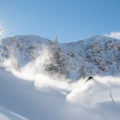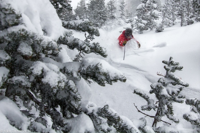
It may feel like spring as I write this, but Ski Utah issued a Powder Alert for Thursday, March 15th through Sunday, March 18th. A big storm is on its way to the Wasatch that may result in over two feet of powder.

A week-long warm spell has made flowers bloom in the valley, and left sun-crusted snow in the mountains. But ski conditions are expected to improve considerably with this latest storm.
Powder Alert Storm Timing
According to Ski Utah, a long-duration, complex storm system will begin to impact the area on Wednesday, March 14th and continue with off and on showers thru the weekend before clearing out on Sunday, March 18th. Several waves of precipitation will bring wind and rain Wednesday, which will transition to all snow heading into Thursday. A break Friday before snow returns for Saturday. The Best powder days look to be Thursday, Saturday, and possibly Sunday.
Possible Snow Amounts
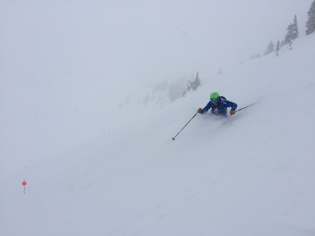
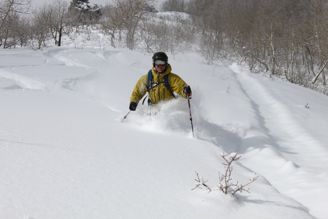
Evan Thayer over at OpenSnow.com estimates 4-8″ of snow by Thursday night in the high elevations with 10-20″ likely in favored locations above 9,000 feet (like Alta and Solitude.) After Friday’s break, another 6-12″ will be possible Saturday into early Sunday. So start making oplans to take Thursday off from work, and get up the canyon early on Sunday to score fresh tracks.
Beyond the weekend, we may have another chance of snow as models hint at another system for Wednesday or Thursday of next week. Welcome back to winter!